Enable Location

We need your location to show you interesting places around you

Discover nearby places

Find interesting locations and hidden gems around you

Precise directions

Get accurate directions and distances to places

Your location is never shared with other users. It's only used when you tap the location button.

Log in to your account

Start exploring — it's free

Trusted by 62,565 travelers worldwide

Continue with Google
Continue with Apple
or

We will send you a code to connect

By continuing, you accept our Terms and Conditions and our Privacy Policy

Check your inbox

We've sent a pincode in your inbox. Please enter the code below.

Narsingdi District, Administrative district in Dhaka Division, Bangladesh

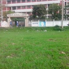
Narsingdi District is an administrative region in Dhaka Division that spans a considerable area across multiple sub-districts. The region comprises several municipalities, wards, and villages that together form a densely populated landscape.

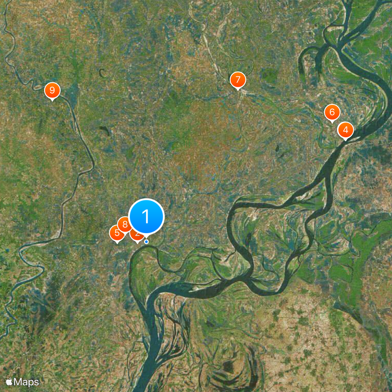
The area contains the Wari-Bateshwar archaeological site dating back to the early second millennium BCE, representing one of the earliest urban settlements in South Asia. These discoveries reveal the long history of human settlement in this region.

The district is known for its large textile market at Madhabdi, where fabric production and trade maintain deep local traditions. The trading areas reflect the region's strong connection to textile manufacturing.

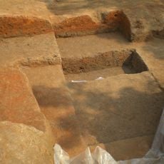
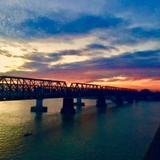
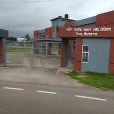
The district is well-connected by various transport routes and has multiple administrative centers and markets accessible to visitors. The terrain is relatively flat and enables easy movement to main points of interest.

The area contains a significant gas field located near a major highway that has become an important part of local industry. This resource has shaped the region's economic development in recent decades.

The community of curious travelers

AroundUs brings together thousands of curated places, local tips, and hidden gems, enriched daily by 60,000 contributors worldwide.

Start exploring
Location
Inception
1984
Capital city
Narsingdi
Shares border with
Brahmanbaria District, Narayanganj District, Gazipur District, Kishoreganj District
GPS coordinates
23.92000,90.73000
Latest update
December 20, 2025 14:36
« Narsingdi District - Administrative district in Dhaka Division, Bangladesh » is provided by Around Us (aroundus.com). Images and texts are derived from Wikimedia project under a Creative Commons license. You are allowed to copy, distribute, and modify copies of this page, under the conditions set by the license, as long as this note is clearly visible.

Discover hidden gems everywhere you go!

From secret cafés to breathtaking viewpoints, skip the crowded tourist spots and find places that match your style. Our app makes it easy with voice search, smart filtering, route optimization, and insider tips from travelers worldwide. Download now for the complete mobile experience.

Around Us App Screenshot

A unique approach to discovering new places

Le Figaro

All the places worth exploring

France Info

A tailor-made excursion in just a few clicks

20 Minutes

Around Us
Travel Guide & Maps
Download

Send to your phone

QR Code
1

Open the camera app on your mobile.

2

Point at the QR code with your camera. A notification will appear.

3

Tap the notification to open the link.