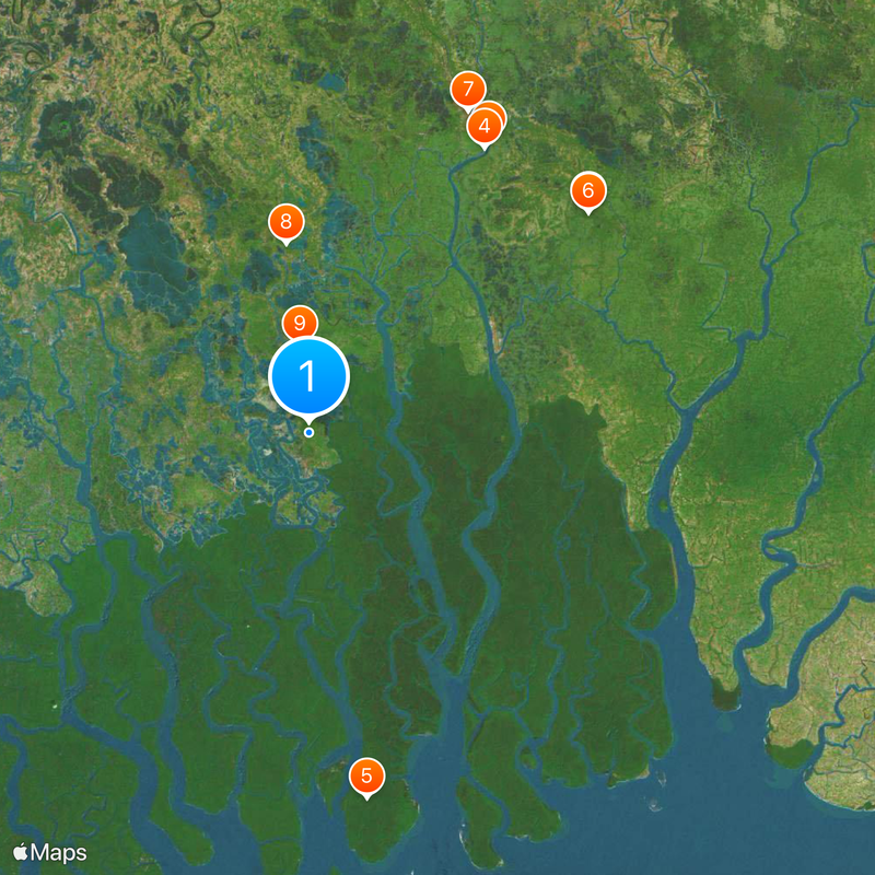
Khulna District, Administrative district in Khulna Division, Bangladesh
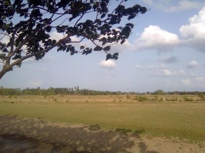
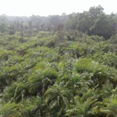
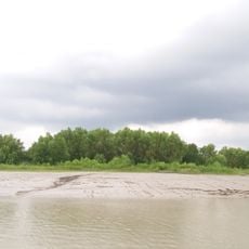
Khulna District sits in southwestern Bangladesh between the Bay of Bengal and the northern districts, shaped by a network of rivers and water channels. The landscape features low-lying land with mangrove formations and wetlands that cover much of the region.
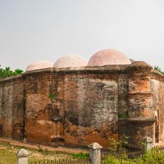
The district took shape in 1842 during British colonial rule and was expanded in 1882 through the addition of neighboring territories. These boundary changes created its present form and administrative structure.
Fishing and shipbuilding define daily life here, with families maintaining these crafts through generations as central to their identity. Walking through neighborhoods, you notice boats under construction and fishing equipment everywhere, reflecting how closely people are tied to the waterways.
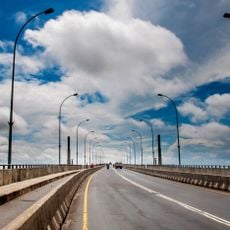
The district mixes urban centers with rural villages, many accessible by boat or local buses across water channels and land routes. Travel during monsoon season can be challenging due to flooding and muddy conditions on many roads.
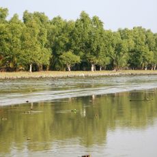
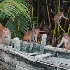
The southern reaches border the Sundarbans, an extensive mangrove forest that shelters wild tigers and other rare wildlife. This ecologically important area shapes much of the region's natural character.
The community of curious travelers
AroundUs brings together thousands of curated places, local tips, and hidden gems, enriched daily by 60,000 contributors worldwide.