Naogaon District

Log in to your account

AroundUs is a community-driven map of interesting places, built by curious explorers like you. It grows with every review, story, and photo you share.
Connect to save your favorite spots, contribute locations, and create personalized routes.
By continuing, you accept our Terms and Conditions and our Privacy Policy
Add to collection
Map
Suggest a change
Share

Naogaon District, Administrative district in Rajshahi Division, Bangladesh.

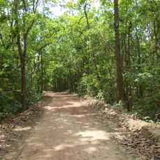
Naogaon District is an administrative district in Rajshahi Division in northern Bangladesh, covering a large territory with several rivers including the Atrai, Punarbhaba, and Little Jamuna flowing through it. The district is divided into eleven administrative subdivisions and is shaped by agricultural activities throughout its landscape.

The area was established as Naogaon Sub-division in 1877 and gained district status in 1984, marking a significant administrative change in the region. This reorganization allowed for improved local governance as the population grew.

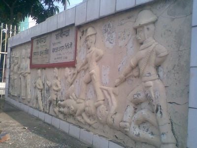
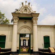
The population includes Muslim and Hindu communities alongside indigenous groups like the Santal, Oraon, and Munda, who maintain their traditional practices and festivals. These diverse communities shape daily life and create a mixed local culture throughout the region.

The district is divided into various administrative sections that help visitors navigate and access local services more easily. The agricultural nature of the region means that visiting outside the peak harvest and planting seasons tends to be more convenient.

The region is known for its large-scale rice processing operations and fruit production, making it a center of the food industry. This combination of mills and orchards reflects the diverse agricultural focus of the area.

Location: Rajshahi Division

Inception: 1984

Capital city: Naogaon

Elevation above the sea: 19 m

Part of: Rajshahi Division

Shares border with: Chapai Nawabganj, Rajshahi District, Natore District, Bogura District, Joypurhat District

Website: http://naogaon.gov.bd

GPS coordinates: 24.90000,88.75000

Latest update: December 6, 2025 22:02

Reviews

Visited this place? Tap the stars to rate it and share your experience / photos with the community! Try now! You can cancel it anytime.

« Naogaon District - Administrative district in Rajshahi Division, Bangladesh » is provided by Around Us (aroundus.com). Images and texts are derived from Wikimedia project under a Creative Commons license. You are allowed to copy, distribute, and modify copies of this page, under the conditions set by the license, as long as this note is clearly visible.

Discover hidden gems everywhere you go!

From secret cafés to breathtaking viewpoints, skip the crowded tourist spots and find places that match your style. Our app makes it easy with voice search, smart filtering, route optimization, and insider tips from travelers worldwide. Download now for the complete mobile experience.

Around Us App Screenshot

A unique approach to discovering new places

Le Figaro

All the places worth exploring

France Info

A tailor-made excursion in just a few clicks

20 Minutes