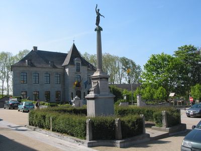
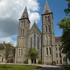
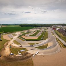
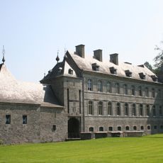
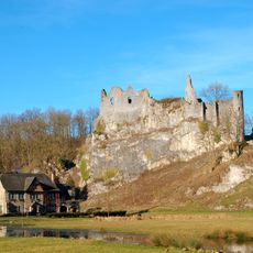
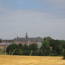
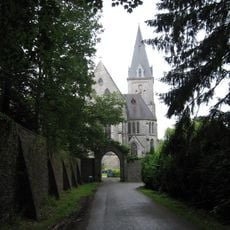
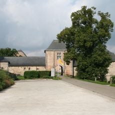
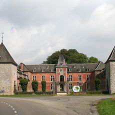
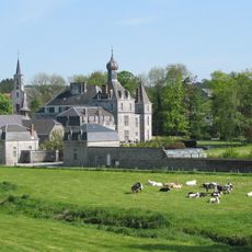
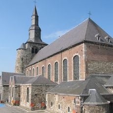
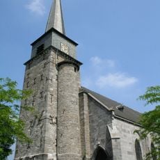
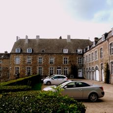
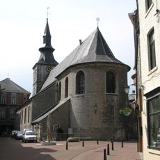
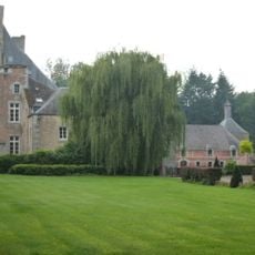
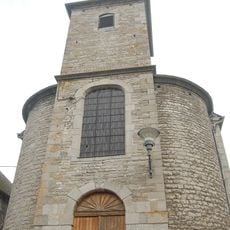
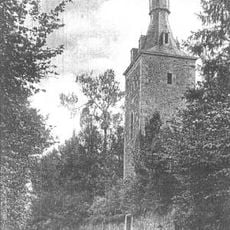
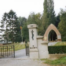
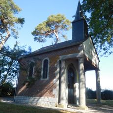
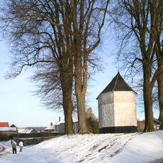
Mettet, municipality in Wallonia, Belgium
Location: Arrondissement of Namur
Inception: January 1, 1977
Capital city: Mettet
Part of: Emergency zone Val de Sambre, Zone de police Entre Sambre et Meuse
Shares border with: Anhée, Onhaye, Profondeville, Gerpinnes, Florennes
Phone: +3271720070
Website: https://mettet.be
GPS coordinates: 50.31920,4.65690
Latest update: May 27, 2025 17:31
Maredsous Abbey
8 km
Circuit Jules Tacheny Mettet
2 km
Acoz Castle
9.6 km
Bioul Castle
10.2 km
Montaigle Castle
11.6 km
Brogne Abbey
6.7 km
Maredret Abbey
7.5 km
Falaën Castle
10.9 km
Presles Castle
9.6 km
Florennes Castle
8.6 km
Roman aqueduct of Mettet
763 m
Thozée Castle
1.9 km
La Forge Castle
11.7 km
Ermeton Abbey
4.8 km
Saint-Feuillen Collegiate Church
9.1 km
Église Saint-Michel de Gerpinnes
9.5 km
Château de Lesve
10.5 km
Collégiale Saint-Gangulphe de Florennes
8.5 km
Fonts baptismaux de Furnaux
3.7 km
Fonts baptismaux de Gerpinnes
9.5 km
Sart-Eustache Castle
7.5 km
Église Notre-Dame de la Nativité de Sosoye
9.3 km
Tour Octavienne
9.2 km
Belle-Motte French National Cemetery
10.1 km
Chapelle Saint-Pierre de Morialmé
8.9 km
Lime tree Bioul
9.2 km
Chapelle Saint-Oger
8.4 km
Point d'observation
6.3 kmVisited this place? Tap the stars to rate it and share your experience / photos with the community! Try now! You can cancel it anytime.
Discover hidden gems everywhere you go!
From secret cafés to breathtaking viewpoints, skip the crowded tourist spots and find places that match your style. Our app makes it easy with voice search, smart filtering, route optimization, and insider tips from travelers worldwide. Download now for the complete mobile experience.
A unique approach to discovering new places❞
— Le Figaro
All the places worth exploring❞
— France Info
A tailor-made excursion in just a few clicks❞
— 20 Minutes