Waterloo, Municipality in Walloon Brabant, Belgium
Waterloo is a municipality south of Brussels in Walloon Brabant, made up of six districts and marked by residential areas, shops, and green spaces. The built environment ranges from older village cores to newer developments, crossed by quiet streets and occasional thoroughfares.
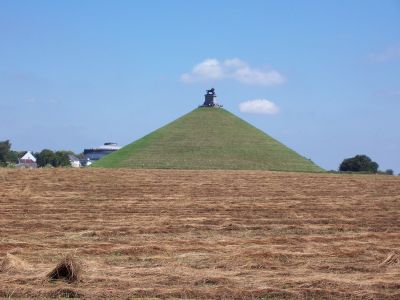
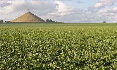
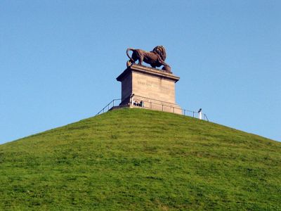
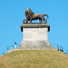
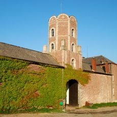
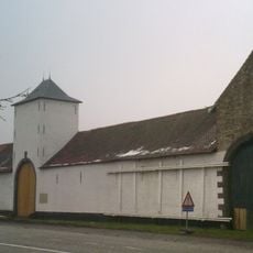
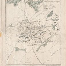
The area was a rural scatter of farms in the 18th century until the 1815 battle brought it to European attention. The municipality grew during the 19th and 20th centuries through migration and mergers into a commuter community near the capital.
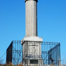
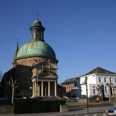
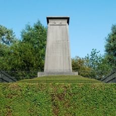
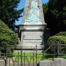
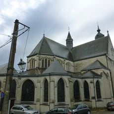
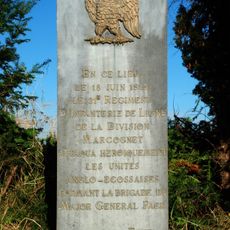
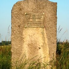
The name comes from a farmstead near a former stream, which later became the village center. Visitors today find memorials and museums dedicated to early 19th-century military events, drawing tour groups from across Europe.
The town center sits along the main road running south from Brussels and is reachable by public transport. Visiting the memorials and the mound requires several hours and comfortable footwear for walking.
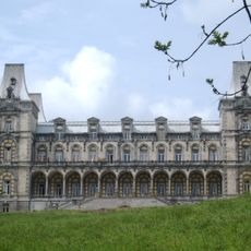
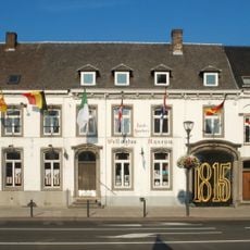
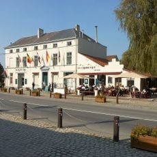
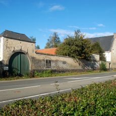
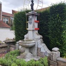
An old inn at the edge of town still shows rooms where allied officers spent the night before the battle. The building now serves as a small museum displaying period furniture and maps from that era.
Location: Arrondissement of Nivelles
Capital city: Waterloo
Operator: Commune de Waterloo
Part of: Emergency zone Walloon Brabant, Zone de police Waterloo
Shares border with: Sint-Genesius-Rode, Braine-l'Alleud, Lasne, Beersel
Address: 1410 Waterloo, Belgium
Phone: +3223529811
Email: administration@waterloo.be
Website: https://waterloo.be
GPS coordinates: 50.71754,4.39776
Latest update: December 11, 2025 19:56
Lion's Mound
4.4 km
Château d'Argenteuil
2.3 km
Casa de la República
1.1 km
Panorama of the Battle of Waterloo
4.3 km
Waterloo Battlefield
4.7 km
Mémorial 1815
4.2 km
Ferme de la Papelotte
4.9 km
Gordon Monument
4.3 km
Ferme de Mont-Saint-Jean, Waterloo
3.7 km
Wellington Museum
34 m
Church of Saint Joseph
54 m
Monument aux Hanovriens
4.4 km
Musée de Cire de Waterloo
4.2 km
Monument aux Belges
4.2 km
Église Saint-Étienne de Braine-l'Alleud
4.3 km
Aqueduc de Mont-Saint-Pont
3 km
The Statue of Khurshidbanu Natavan
1.3 km
Stèle au 27th
4.2 km
Stèle au 8e régiment d'infanterie de ligne
4.4 km
Stèle au 21e régiment d'infanterie de ligne
4.3 km
Stèle Picton
4.3 km
Église du Sacré-Cœur de l'Ermite
3.1 km
La Haye Sainte
4.5 km
Battle of Waterloo
4.7 km
Sonian Forest – Réserve forestière du Ticton B
2.6 km
El Gamin qui Piche
3.8 km
Cines Wellington
122 m
Sonian Forest – Forest reserve Ticton A
3.3 kmVisited this place? Tap the stars to rate it and share your experience / photos with the community! Try now! You can cancel it anytime.
Discover hidden gems everywhere you go!
From secret cafés to breathtaking viewpoints, skip the crowded tourist spots and find places that match your style. Our app makes it easy with voice search, smart filtering, route optimization, and insider tips from travelers worldwide. Download now for the complete mobile experience.
A unique approach to discovering new places❞
— Le Figaro
All the places worth exploring❞
— France Info
A tailor-made excursion in just a few clicks❞
— 20 Minutes