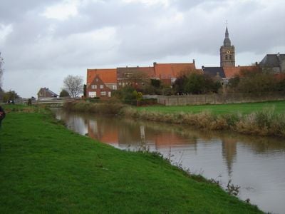
Yser, Coastal river in West Flanders, Belgium
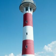
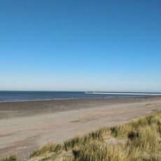
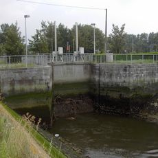
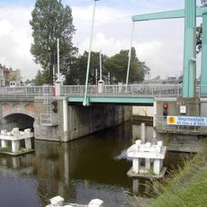
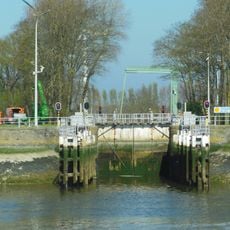
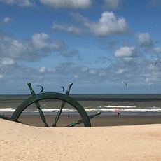
The Yser is a coastal river in West Flanders that flows for 78 kilometers from northern France through the region and reaches the North Sea at Nieuwpoort. The river is regulated by the Ganzepoot lock complex, which controls water flow and navigation throughout the year.
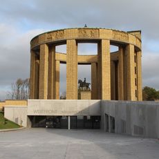
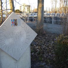
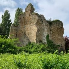
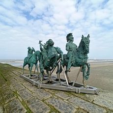
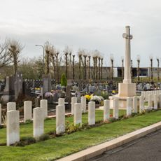
The river became a tool of defense in 1914 when the Belgian army opened the sluice gates at Nieuwpoort to flood the surrounding plains and stop German forces during World War I. This action reshaped military strategy in the region for years to come.
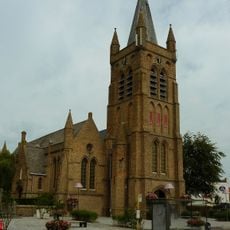
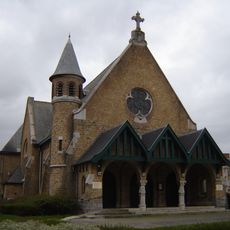
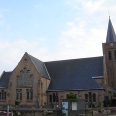
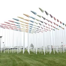
The river links several Flemish towns including Diksmuide and Nieuwpoort through a network of waterways that shape how communities connect with each other. These channels are woven into the daily landscape and influence local identity in the region.
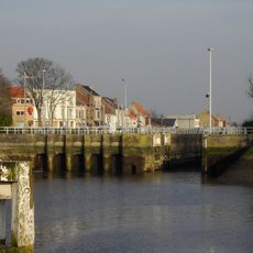
Water levels are managed throughout the year by lock systems, allowing people to travel through the region while keeping water conditions stable. Visitors exploring the area should be aware that conditions vary by season and water levels can change depending on weather and management needs.
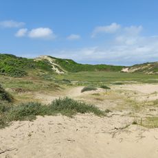
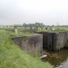
The river system is supported by numerous polders and specialized channels that manage water through an intricate network built over centuries. This water management system shows how communities learned to live with close proximity to the sea.
The community of curious travelers
AroundUs brings together thousands of curated places, local tips, and hidden gems, enriched daily by 60,000 contributors worldwide.