
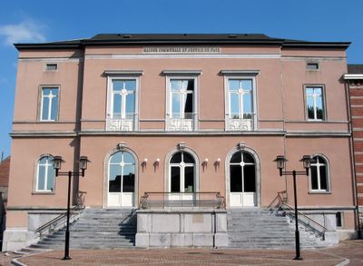
Dour, municipality in Wallonia, Belgium
Location: Arrondissement of Mons
Capital city: Dour
Part of: Emergency zone Hainaut Center, Politiezone Des Hauts-Pays
Shares border with: Boussu, Colfontaine, Frameries, Hon-Hergies, Honnelles, Quiévrain, Hensies
Phone: +3265761810
Email: info@communedour.be
Website: http://communedour.be
GPS coordinates: 50.39788,3.78069
Latest update: May 27, 2025 17:31
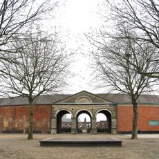
Grand Hornu
5.9 km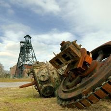
Major Mining Sites of Wallonia
5.8 kmChâteau de Boussu
4.5 km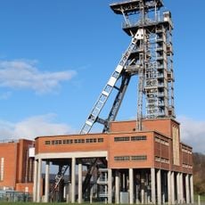
Le Pass
8.8 km
Parc naturel des Hauts-Pays
7.2 km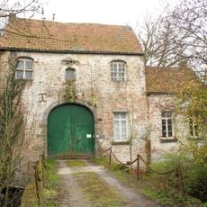
Sars-la-Bruyère Castle
7.5 km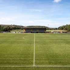
Robert Urbain Stadium
1.7 km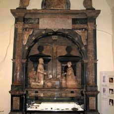
Mausoleum of the Lords of Boussu
4.1 km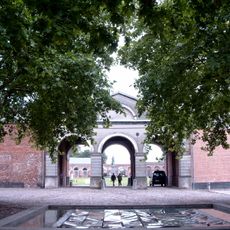
Wallonia-Brussels Federation Museum of Contemporary Arts
5.8 km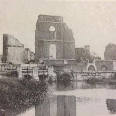
Moulin brûlé de Quiévrain
7.2 km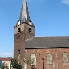
Église Saint-Victor de Dour
355 m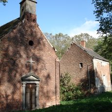
Chapelle de Cocars
1.4 km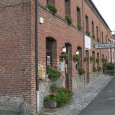
Musée du marbre et de la pierre bleue de Bellignies
7.5 km
Réserve naturelle régionale du bois d'Encade
7.4 km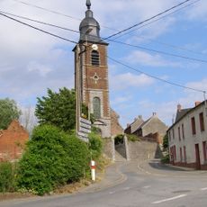
Église Saint-Martin d'Hon
8.4 km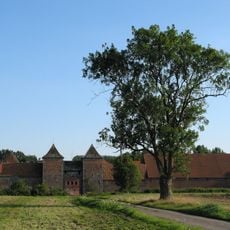
Château-ferme de Rampemont
4.7 km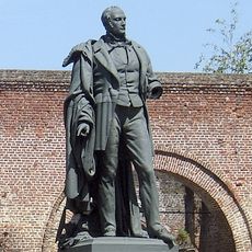
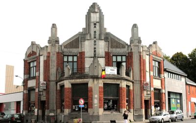
Henri De Gorge
5.9 km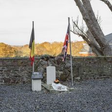
Montignies-sur-Roc Churchyard
4.6 km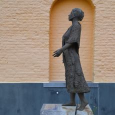
Femme immigrée, pont entre générations et cultures
5.7 km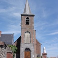
Église Saint-Martin d'Houdain-lez-Bavay
9.3 km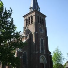
Église Notre-Dame de la Visitation de Taisnières-sur-Hon
9.5 km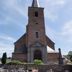
Église Saint-Médard de Gussignies
7.3 km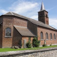
Église Saint-Martin de Bettrechies
8.6 km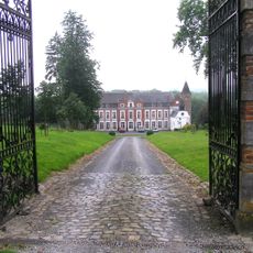
Château de Gussignies
7.4 km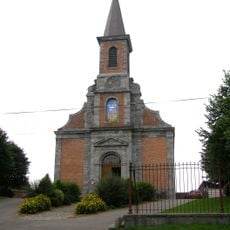
Église Saint-Barthélemy de Bellignies
8 km
Kiosque à Musique
4.1 kmBird hide
7.4 kmBird hide
7.6 kmVisited this place? Tap the stars to rate it and share your experience / photos with the community! Try now! You can cancel it anytime.
Discover hidden gems everywhere you go!
From secret cafés to breathtaking viewpoints, skip the crowded tourist spots and find places that match your style. Our app makes it easy with voice search, smart filtering, route optimization, and insider tips from travelers worldwide. Download now for the complete mobile experience.

A unique approach to discovering new places❞
— Le Figaro
All the places worth exploring❞
— France Info
A tailor-made excursion in just a few clicks❞
— 20 Minutes