
Grobbendonk, municipality in Antwerp, Belgium
Location: Arrondissement of Turnhout
Capital city: Grobbendonk
Part of: Emergency zone Antwerp 5, Politiezone Neteland
Shares border with: Herentals, Herenthout, Nijlen, Vorselaar, Zandhoven
Phone: +3214511020
Email: info@grobbendonk.be
Website: http://grobbendonk.be
GPS coordinates: 51.19194,4.73861
Latest update: May 27, 2025 17:31

Borrekens Castle
3.6 km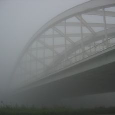
Pullebrug
5 km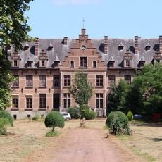
Kasteel Hovorst
4.9 km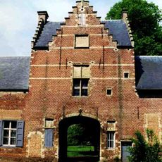
Kasteel Grobbendonk
1.2 km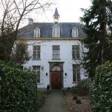
Pastorie van Nijlen
5.7 km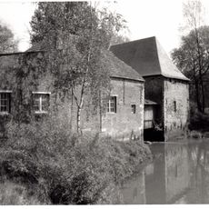
Banmolen
1 km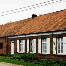
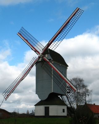
Graanwindmolen
3.4 km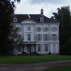
Kasteel Bouwelhof
2.7 km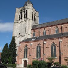
Sint-Pieter en Pauluskerk
5.9 km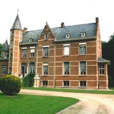
Kasteel Steynehof
6.6 km
Goorkasteel
2.7 km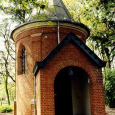
Kapel van Boshoven
954 m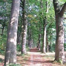
Merodebos
6.1 km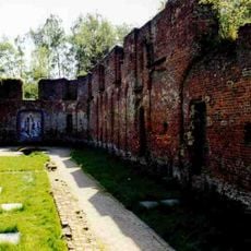
Onze-Lieve-Vrouw Ten Troonpriorij
2.9 km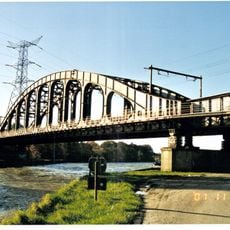
Spoorbrug bij Herentals
5.3 km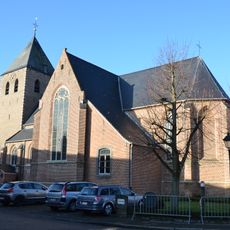
Sint-Petrus en Pauluskerk
2.2 km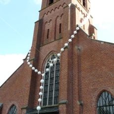
Onze-Lieve-Vrouw-ten-Hemel-Opgenomenkerk
2.5 km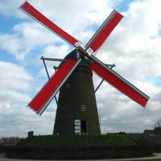
Stenen molen, Pulderbos
4.7 km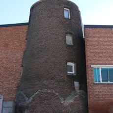
Dommolen
6.1 km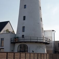
Verbistmolen, Nijlen
6 km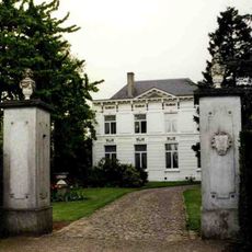
Hofke van Eisterlee
1 km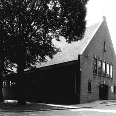
Onze-Lieve-Vrouwekerk
4.7 km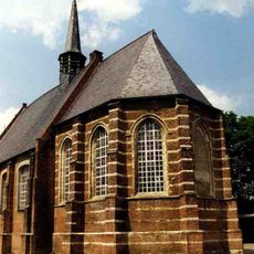
Sint-Gummaruskapel, Herenthout
6.1 km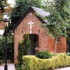
Kapel van de Langenheuvel
3.3 km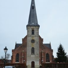
Onze-Lieve-Vrouwekerk
4.3 km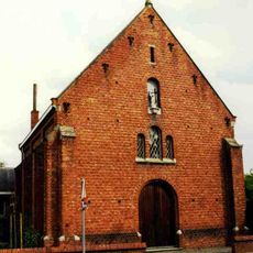
Sint-Maria-Magdalenarusthuis
462 m
Watermolen bij Kasteel Hovorst
5 km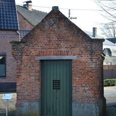
Sint-Rochuskapel
2.2 kmVisited this place? Tap the stars to rate it and share your experience / photos with the community! Try now! You can cancel it anytime.
Discover hidden gems everywhere you go!
From secret cafés to breathtaking viewpoints, skip the crowded tourist spots and find places that match your style. Our app makes it easy with voice search, smart filtering, route optimization, and insider tips from travelers worldwide. Download now for the complete mobile experience.

A unique approach to discovering new places❞
— Le Figaro
All the places worth exploring❞
— France Info
A tailor-made excursion in just a few clicks❞
— 20 Minutes