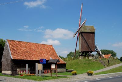
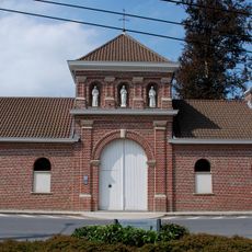
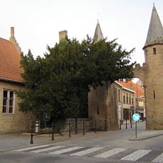
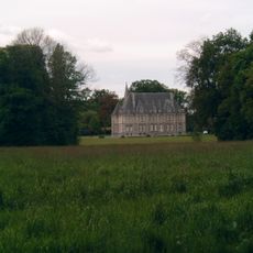
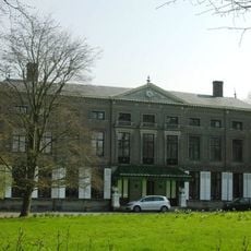
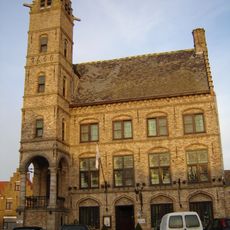
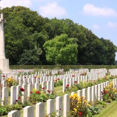
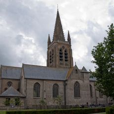
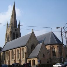
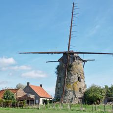
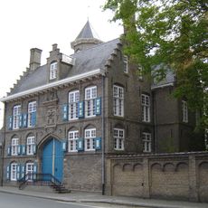
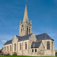
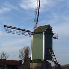
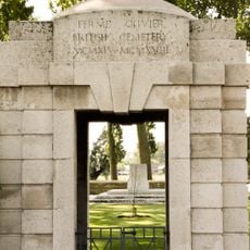
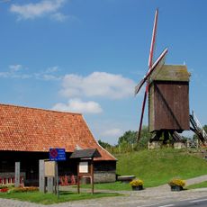
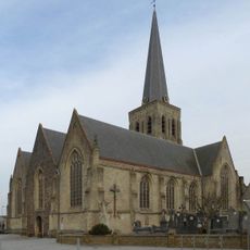
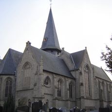
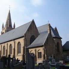
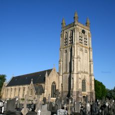
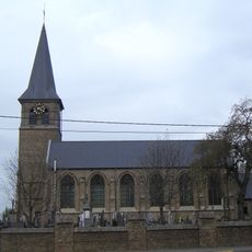
Vleteren, municipality in West Flanders, Belgium
Location: Arrondissement of Ypres
Inception: January 1, 1977
Capital city: Oostvleteren
Elevation above the sea: 6 m
Part of: Emergency zone Westhoek, Police Zone ARRO Ieper
Shares border with: Lo-Reninge, Ypres
Phone: +3257400099
Email: info@vleteren.be
Website: https://vleteren.be
GPS coordinates: 50.91390,2.74140
Latest update: May 27, 2025 17:40
Westvleteren Abbey
2.4 km
Caesarsboom
7.4 km
Kasteel van Elverdinge
8.1 km
Kasteel Couthof
6.1 km
Kasteel de Lovie
4.9 km
Old Town Hall, Lo
7.4 km
Dozinghem Military Cemetery
3.6 km
Sint-Pieterskerk
7.5 km
Automuseum Old Timer Bossaert
2.1 km
Westpoort
7.4 km
Vermeulens molen
6.3 km
Gwalia Cemetery
4.5 km
Canada Farm Cemetery
4 km
Sint-Petrus en Pauluskerk
6.2 km
Bleuet Farm Cemetery
6.9 km
Hospital Farm Cemetery
6.4 km
Machuutmolen
5.7 km
Kasteel Vilain
5 km
Sint-Bartholomeuskerk
6.4 km
Markeymolen
7.4 km
Ferme-Olivier Cemetery
5.1 km
Meestermolen, Oostvleteren
1.4 km
Sint-Martinuskerk
2.3 km
Church of Saint Blaise
3.7 km
Sint-Leonarduskerk
6.1 km
Sint-Rectrudiskerk
3.6 km
Saint Barnabas Church
6.7 km
Kapel De Wijk
5.5 kmReviews
Visited this place? Tap the stars to rate it and share your experience / photos with the community! Try now! You can cancel it anytime.
Discover hidden gems everywhere you go!
From secret cafés to breathtaking viewpoints, skip the crowded tourist spots and find places that match your style. Our app makes it easy with voice search, smart filtering, route optimization, and insider tips from travelers worldwide. Download now for the complete mobile experience.
A unique approach to discovering new places❞
— Le Figaro
All the places worth exploring❞
— France Info
A tailor-made excursion in just a few clicks❞
— 20 Minutes