Enable Location

We need your location to show you interesting places around you

Discover nearby places

Find interesting locations and hidden gems around you

Precise directions

Get accurate directions and distances to places

Your location is never shared with other users. It's only used when you tap the location button.

Watermael-Boitsfort / Watermaal-Bosvoorde

Log in to your account

Start exploring — it's free

Trusted by 64,113 travelers worldwide

Continue with Google
Continue with Apple
or

We will send you a code to connect

By continuing, you accept our Terms and Conditions and our Privacy Policy

Check your inbox

We've sent a pincode in your inbox. Please enter the code below.

Watermael-Boitsfort / Watermaal-Bosvoorde
Discussion Reviews 2 Photos
18k Popularity

Watermael-Boitsfort / Watermaal-Bosvoorde, municipality in the Brussels-Capital Region, Belgium

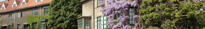
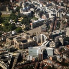
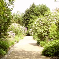
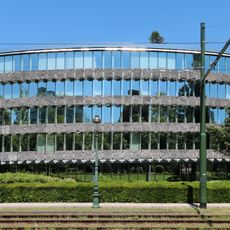
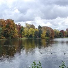
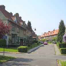
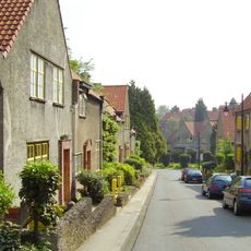
Watermael-Boitsfort or Watermaal-Bosvoorde is a municipality in the Brussels-Capital region, extending southeast with parts covered by the Sonian Forest. The area consists of residential neighborhoods with older villas and modern homes, interspersed with green parks, tree-lined streets, and quiet streets.

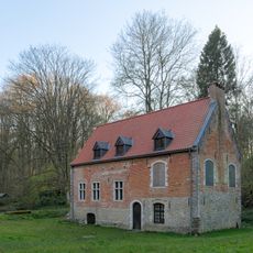
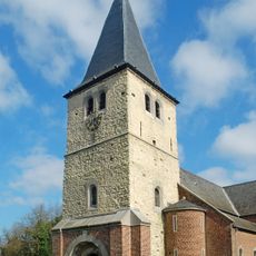
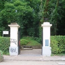
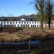
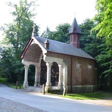
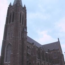
The area has roots in Carolingian times with a church possibly dating to the 10th century and recognized by the pope in the 12th century. Later Bosvoorde developed as a hunting ground for dukes and emperors, with a hunting lodge beside the Sonian Forest that was destroyed and rebuilt several times.

The place names reflect its agricultural and hunting heritage - Watermael refers to water and mills, while Bosvoorde points to forest hunting grounds. Today residents and visitors use the green spaces for walks and gatherings, with old churches and houses maintaining connection to earlier times.

The municipality is easily reached by public transport such as buses, which provide connections to the city center and other parts of Brussels. Streets are wide enough for walking and cycling, and there are numerous parks and green areas for resting and exploring.

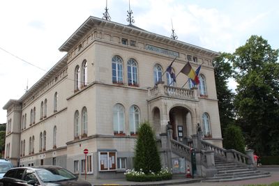
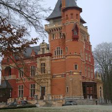
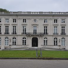
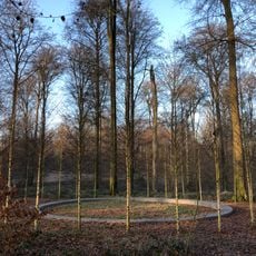
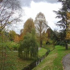
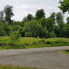
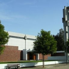
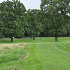
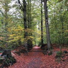
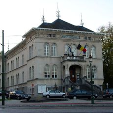
The place contains several heritage-protected buildings including the old town hall from 1845 and Ter Coigne castle, which together preserve a rich history. The southern section is dominated by the Sonian Forest, an extensive woodland area popular with walkers that connects the municipality with nature.

The community of curious travelers

AroundUs brings together thousands of curated places, local tips, and hidden gems, enriched daily by 60,000 contributors worldwide.

Start exploring
Part of
Brussels Fire Department, Police Zone Uccle/Watermael-Boitsfort/Auderghem
Shares border with
Ixelles - Elsene, City of Brussels, Auderghem - Oudergem, Sint-Genesius-Rode, Hoeilaart, Overijse, Uccle
Phone
GPS coordinates
50.79806,4.41778
Latest update
February 17, 2026 00:00
Reviews
Share your experience

No review yet

Discussions
Start a discussion...

No discussion yet

« Watermael-Boitsfort / Watermaal-Bosvoorde - municipality in the Brussels-Capital Region, Belgium » is provided by Around Us (aroundus.com). Images and texts are derived from Wikimedia project under a Creative Commons license. You are allowed to copy, distribute, and modify copies of this page, under the conditions set by the license, as long as this note is clearly visible.

Discover hidden gems everywhere you go!

From secret cafés to breathtaking viewpoints, skip the crowded tourist spots and find places that match your style. Our app makes it easy with voice search, smart filtering, route optimization, and insider tips from travelers worldwide. Download now for the complete mobile experience.

Around Us App Screenshot

A unique approach to discovering new places

Le Figaro

All the places worth exploring

France Info

A tailor-made excursion in just a few clicks

20 Minutes

Around Us
Travel Guide & Maps
Download

Send to your phone

QR Code
1

Open the camera app on your mobile.

2

Point at the QR code with your camera. A notification will appear.

3

Tap the notification to open the link.