Dommel, Meandering river through North Brabant and Limburg, Netherlands
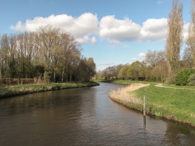
The Dommel is a river that winds through North Brabant and Limburg in the Netherlands, connecting with several streams along its path. The waterway flows for roughly 146 kilometers from its source until it joins the Aa River.
The river formed through natural landscape processes and shaped settlement patterns across the region for centuries. In the 1800s, its role changed as new transportation routes gradually replaced earlier water-based trade routes.
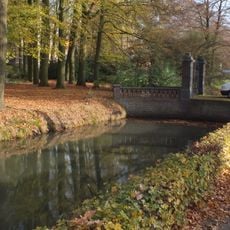
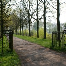
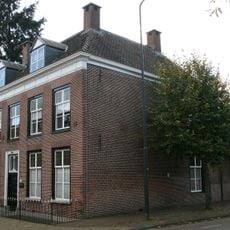
The river shapes daily life in nearby communities, where residents regularly walk along its banks and connect with nature. Local people value this waterway as an important part of their surroundings.
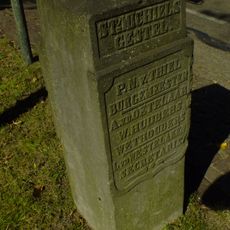
Several paths and walkways run along the banks of the river, suitable for walking and cycling. Towns such as Eindhoven, Boxtel, and Sint-Michielsgestel offer good access points to reach the water.
The river starts on Belgium's Kempens Plateau at an elevation above 77 meters and then descends into the flat Dutch landscape below. This elevation change creates different water flows and scenery along its entire course.
The community of curious travelers
AroundUs brings together thousands of curated places, local tips, and hidden gems, enriched daily by 60,000 contributors worldwide.