
Rutten, section of Tongeren, Belgium
Location: Tongeren
Part of: Redemptiedorpen
GPS coordinates: 50.74720,5.44330
Latest update: August 15, 2025 18:14
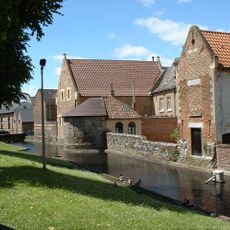
Beguinage of Tongeren
4 km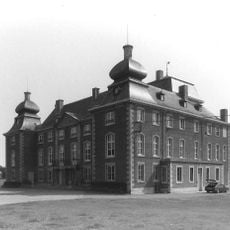
Hamal Castle
1.5 km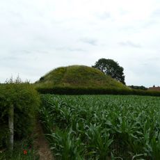
Tumulus of Koninksem
2.5 km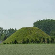
Tumulus of Koninksem
2.4 km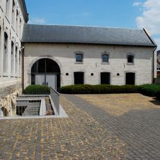
Agnetenklooster
4 km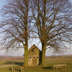
Heilig Huisje
2.2 km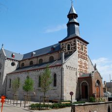
Sint-Jan-de-Doperkerk
3.8 km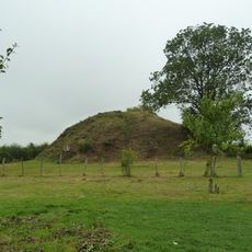
Tumulus of Herstappe
3.2 km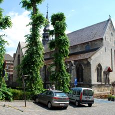
Sint-Catharinakerk
4 km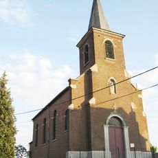
Sint-Cunibertuskerk
2.9 km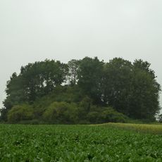
Othée Tumulus
2.9 km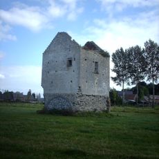
Donjon Rutten
1.2 km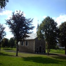
Sint-Evermaruskapel
259 m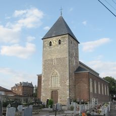
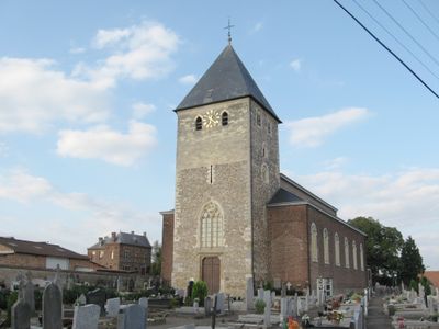
Sint-Martinuskerk
33 m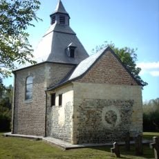
Sint-Hubertuskapel
2.5 km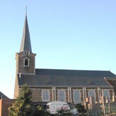
Sint-Medarduskerk
3.8 km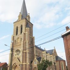
Sint-Pieterskerk
2.1 km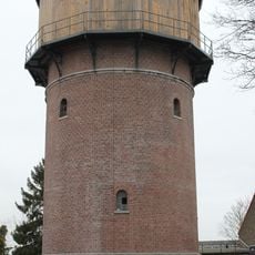
Water tower, Tongeren
3.9 km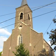
Sint-Jan-de-Doperkerk
2.5 km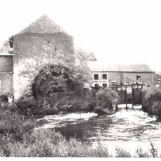
Ruttermolen
843 m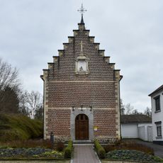
Kapel van Onze-Lieve-Vrouw van Zeven Weeën
3.3 km
Motmolen
3.4 km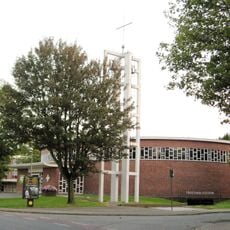
Sint-Maternuskerk
3.2 km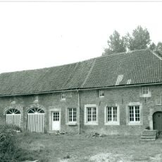
Hogemolen
2.5 km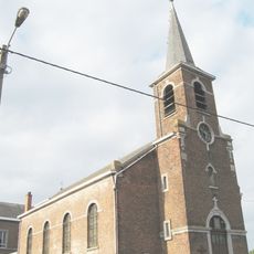
Sint-Servaaskerk
2.1 km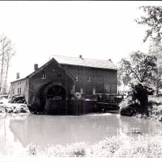
Daalmolen
1.4 km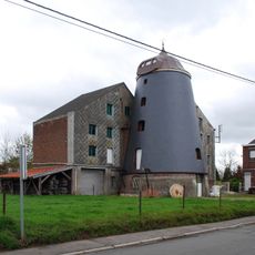
Moulin d'Othée
4.8 km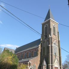
Église Saints Pierre-et-Paul
4 kmReviews
Visited this place? Tap the stars to rate it and share your experience / photos with the community! Try now! You can cancel it anytime.
Discover hidden gems everywhere you go!
From secret cafés to breathtaking viewpoints, skip the crowded tourist spots and find places that match your style. Our app makes it easy with voice search, smart filtering, route optimization, and insider tips from travelers worldwide. Download now for the complete mobile experience.

A unique approach to discovering new places❞
— Le Figaro
All the places worth exploring❞
— France Info
A tailor-made excursion in just a few clicks❞
— 20 Minutes