Channel Leuven-Mechelen, Protected waterway in Flemish Brabant and Antwerp, Belgium.
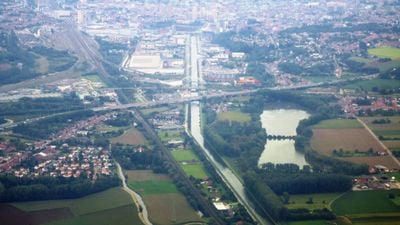
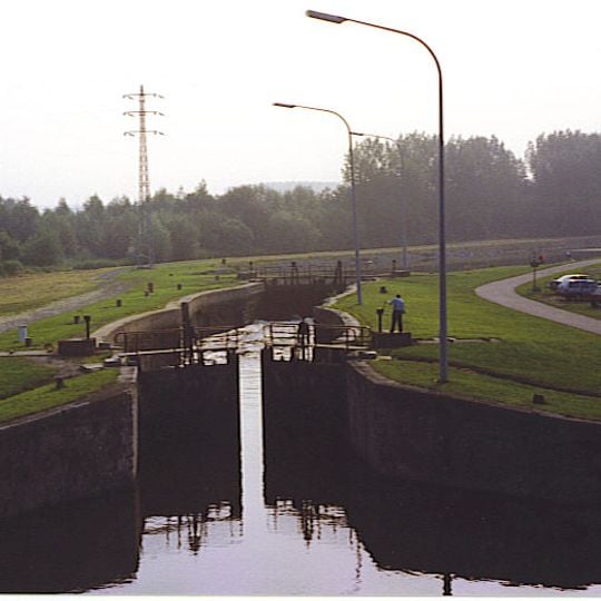
The Channel Leuven-Mechelen is a protected waterway stretching across Flanders and connecting two major cities. Multiple locks regulate water levels along its course and define the banks.
The Dyle was made navigable with weirs and locks by 1327, but trade growth made that route insufficient; a lateral canal was studied in 1686 and a final plan adopted in 1749. Leuven received the concession on 29 January 1750, and governor Charles of Lorraine cut the first turf at Wilsele on 9 February with a silver spade and an ornate wheelbarrow, now in M Museum Leuven. About 500 Ardennes farmers dug the channel, filled with water on 21 December 1752. In 1760-1763 the Brusselpoort lock was removed and three locks added at Tildonk, Boortmeerbeek and Battel.
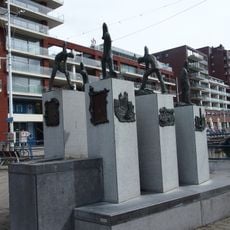
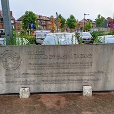
The waterway was long called Leuvense Vaart, 'Louvain Canal', and only took its current name in 1994 when the Flemish region assumed management. The former towpath is now the F8 cycle highway between Leuven and Mechelen. At the Vaartkom in Leuven, Willy Peeters's 2000 statue De Kanaalgravers commemorates the 500 labourers who dug the channel in two years.
The former towpath along the canal is now the F8 cycle highway between Leuven and Mechelen. The canal is navigable for class II vessels up to 600 tonnes, with a draught of 3.30 m. Five locks of the rare buiksas type regulate the water level; the bridges are operated centrally from a tower in Kampenhout.
The canal's five locks are of the rare buiksas type: the recesses in the chamber walls are rounded so the opened gates can swing back into them. The former towpath is now the F8 cycle highway between Leuven and Mechelen, and the whole canal infrastructure has been protected as industrial heritage since a ministerial decree of 19 March 1997.
The community of curious travelers
AroundUs brings together thousands of curated places, local tips, and hidden gems, enriched daily by 94,560 contributors worldwide.