Enable Location

We need your location to show you interesting places around you

Discover nearby places

Find interesting locations and hidden gems around you

Precise directions

Get accurate directions and distances to places

Your location is never shared with other users. It's only used when you tap the location button.

Herzele

Log in to your account

Start exploring — it's free

Trusted by 62,060 travelers worldwide

Continue with Google
Continue with Apple
or

We will send you a code to connect

By continuing, you accept our Terms and Conditions and our Privacy Policy

Check your inbox

We've sent a pincode in your inbox. Please enter the code below.

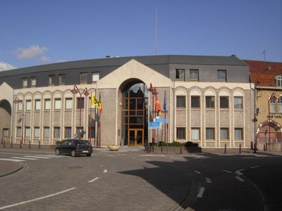
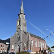
Herzele, Municipality in East Flanders, Belgium

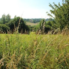
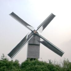
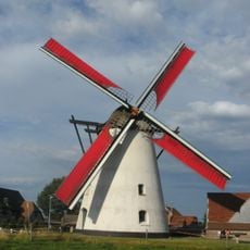
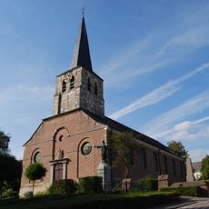
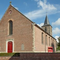
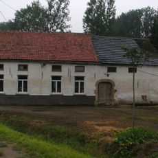
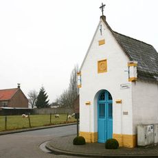
Herzele is a municipality in East Flanders positioned between two waterways, with eight villages scattered across its territory. The area consists of rural Flemish countryside with a mix of farmland, small settlements, and green spaces.

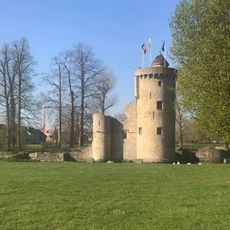
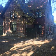
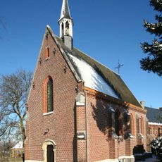
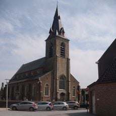
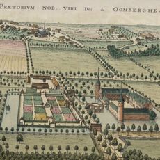
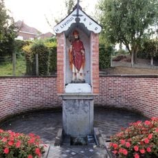
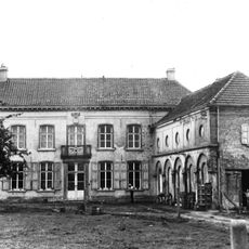
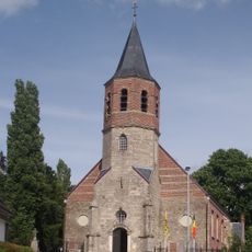
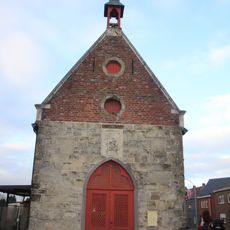
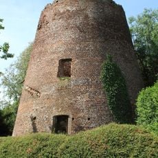
The settlement traces its origins to the 7th century, when a fortress was built to defend the region from invaders. This early military structure shaped the area's development for centuries to come.

Dutch shapes everyday conversation throughout the communities, reflecting the linguistic identity of East Flanders. This language defines how people interact in shops, markets, and public spaces across the area.

Three railway stations along a single line provide connections to larger towns and cities in the region. These train links make it easy for visitors and residents to travel around and explore surrounding areas.

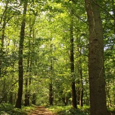
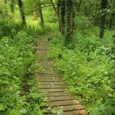
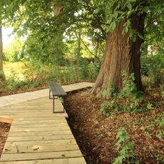
The area is home to two nature reserves with distinctive forests and plant life. Local vineyards and breweries also operate here, producing regional beverages that you can purchase directly from producers and small shops.

The community of curious travelers

AroundUs brings together thousands of curated places, local tips, and hidden gems, enriched daily by 60,000 contributors worldwide.

Start exploring
Capital city
Herzele
Part of
Politiezone Zottegem - Herzele - Sint-Lievens-Houtem, Emergency zone Flemish Ardennes
Shares border with
Sint-Lievens-Houtem, Lierde, Zottegem, Erpe-Mere, Haaltert, Ninove, Geraardsbergen
Phone
GPS coordinates
50.88333,3.88333
Latest update
December 8, 2025 13:43
« Herzele - Municipality in East Flanders, Belgium » is provided by Around Us (aroundus.com). Images and texts are derived from Wikimedia project under a Creative Commons license. You are allowed to copy, distribute, and modify copies of this page, under the conditions set by the license, as long as this note is clearly visible.

Discover hidden gems everywhere you go!

From secret cafés to breathtaking viewpoints, skip the crowded tourist spots and find places that match your style. Our app makes it easy with voice search, smart filtering, route optimization, and insider tips from travelers worldwide. Download now for the complete mobile experience.

Around Us App Screenshot

A unique approach to discovering new places

Le Figaro

All the places worth exploring

France Info

A tailor-made excursion in just a few clicks

20 Minutes

Around Us
Travel Guide & Maps
Download

Send to your phone

QR Code
1

Open the camera app on your mobile.

2

Point at the QR code with your camera. A notification will appear.

3

Tap the notification to open the link.