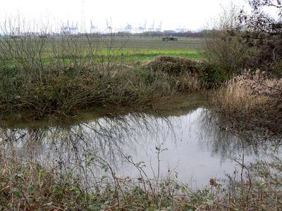
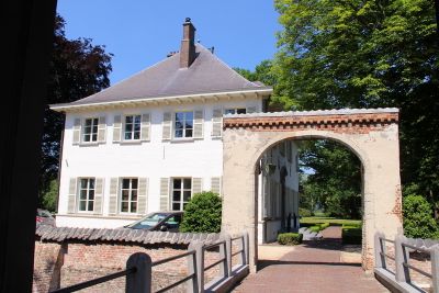
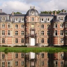
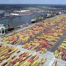
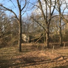
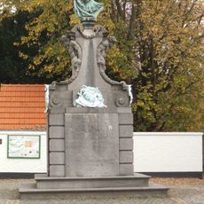
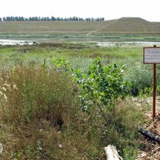
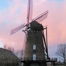
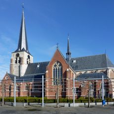
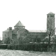
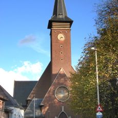
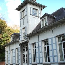
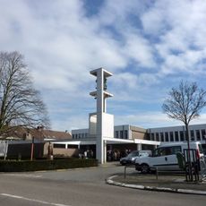
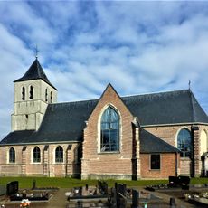
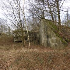
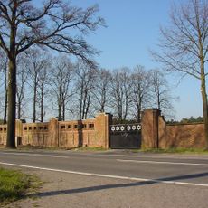
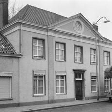
Stabroek, municipality in Antwerp, Belgium
Location: Province of Antwerp
Location: Arrondissement of Antwerp
Capital city: Stabroek
Part of: Emergency zone Antwerp 3, Politiezone Noord
Shares border with: Kapellen, Woensdrecht, Antwerp
Phone: +3235688080
Email: gemeente@stabroek.be
Website: http://stabroek.be
GPS coordinates: 51.33333,4.36667
Latest update: May 27, 2025 17:31
Kasteel Ravenhof
2.7 km
Frans Tijsmanstunnel
4.2 km
Bevrijdingsdok
3 km
Lillobrug
4.3 km
Kerkschip St. Jozef
4.2 km
Fort of Stabroek
1.4 km
Fort van Ertbrand
4.4 km
Redoute of Smoutakker
1.9 km
Gedenkteken voor Jacob Jordaens
3.3 km
Reigersbos
3.7 km
Buitenmolen, Berendrecht
4.2 km
Sint-Catharinakerk
236 m
Sint-Dionysiuskerk
3.3 km
Sint-Jan de Doperkerk
3.7 km
Schloss Reigershof
3.7 km
Onze-Lieve-Vrouw-Geboortekerk
4 km
Onze-Lieve-Vrouw-Geboortekerk
4 km
Onze-Lieve-Vrouw-Onbevlekt-Ontvangenkerk
5.7 km
Onze-Lieve-Vrouw van de Vredekerk
3.4 km
Lassonhof
840 m
Sint-Dionysiuskerk
3.1 km
Gloriëtte, Putte
2.9 km
Mariahoeve
5.7 km
Schans van Smoutakker
1.9 km
Sombre Hadass, binnenpoort
4.6 km
Sombre Hadass, muur met twee poorten
4.5 km
Herenhuis
3.2 km
Het boek van de geschiedenis
3.9 kmVisited this place? Tap the stars to rate it and share your experience / photos with the community! Try now! You can cancel it anytime.
Discover hidden gems everywhere you go!
From secret cafés to breathtaking viewpoints, skip the crowded tourist spots and find places that match your style. Our app makes it easy with voice search, smart filtering, route optimization, and insider tips from travelers worldwide. Download now for the complete mobile experience.
A unique approach to discovering new places❞
— Le Figaro
All the places worth exploring❞
— France Info
A tailor-made excursion in just a few clicks❞
— 20 Minutes