
Lichtaart, section of Kasterlee, Belgium
Location: Kasterlee
Elevation above the sea: 19 m
GPS coordinates: 51.22470,4.92030
Latest update: May 27, 2025 17:40
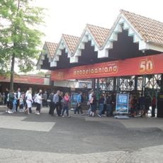
Bobbejaanland
2.8 km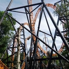
Fury
2.9 km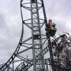
Typhoon
3 km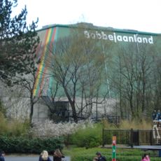
Evolution
2.9 km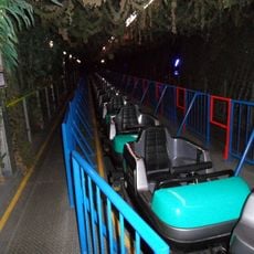
Vekoma Illusion
2.9 km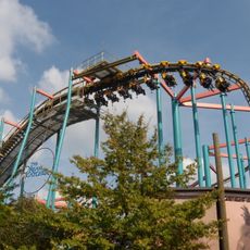
Dream Catcher
2.7 km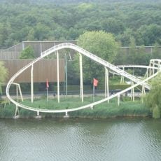
Oki Doki
2.6 km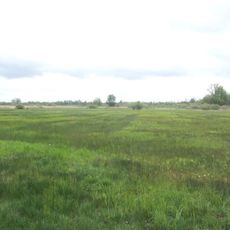
De Zegge
3.2 km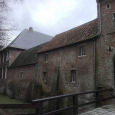
Tielen Castle
3 km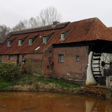
Watermolen van Tielen
3.9 km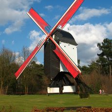
Keesesmolen, Kasterlee
3.8 km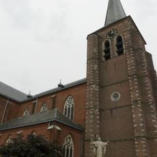
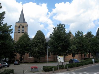
Sint-Willibrorduskerk
3.7 km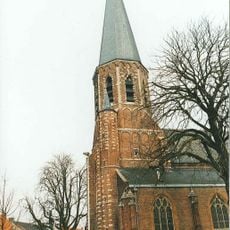
Onze-Lieve-Vrouwekerk
6 km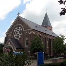
Sint-Jozefskerk
4.6 km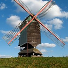
Molen van 't Veld, Geel
3.5 km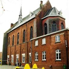
Ursulinenklooster
6 km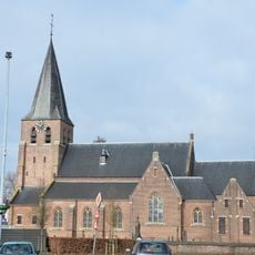
Sint-Jan Baptistkerk
5.9 km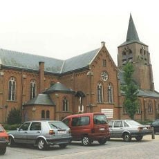
Onze-Lieve-Vrouwekerk
42 m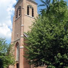
Sint-Margaritakerk
2.5 km
Zwarte Molen
4.9 km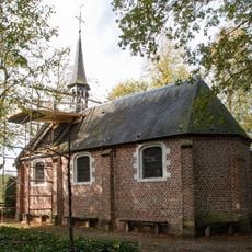
Rielenkapel
3.6 km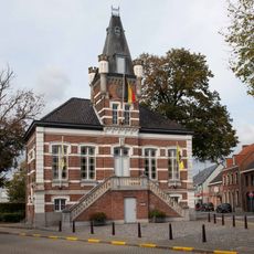
Voormalig gemeentehuis in Tielen
2.5 km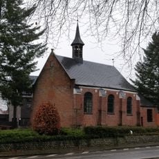
Onze-Lieve-Vrouw-in-'t-Zandkapel
882 m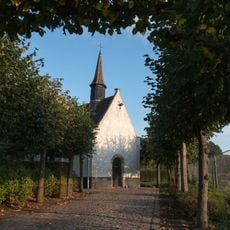
Heerlekapel
4 km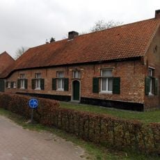
De Muyzerd
2.6 km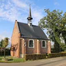
Onze-Lieve-Vrouw-van-Bijstandkapel
3.8 km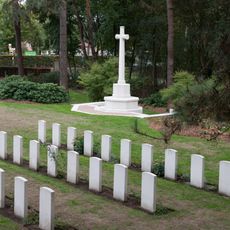
Kasterlee War Cemetery
3.7 km
Defibrillator, wall
3.8 kmReviews
Visited this place? Tap the stars to rate it and share your experience / photos with the community! Try now! You can cancel it anytime.
Discover hidden gems everywhere you go!
From secret cafés to breathtaking viewpoints, skip the crowded tourist spots and find places that match your style. Our app makes it easy with voice search, smart filtering, route optimization, and insider tips from travelers worldwide. Download now for the complete mobile experience.

A unique approach to discovering new places❞
— Le Figaro
All the places worth exploring❞
— France Info
A tailor-made excursion in just a few clicks❞
— 20 Minutes