Belgium–Netherlands border, International border line between Belgium and Netherlands in Western Europe.
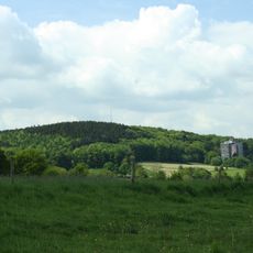
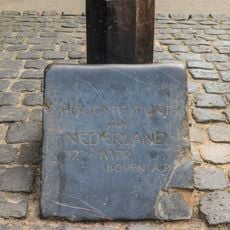
The Belgium–Netherlands border stretches 450 kilometers across diverse landscapes, running from coastal areas through forests to hilly terrain near the German frontier. The borderland contains alternating regions of rivers, wetlands, and farmland shared by both countries.
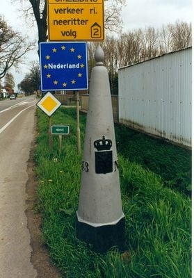
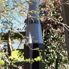
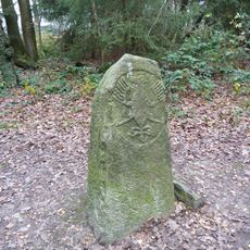
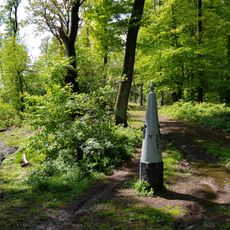
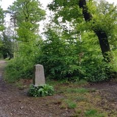
The border emerged after the Belgian Revolution of 1830, when Belgium separated from the Netherlands and was formally established through treaties signed in 1842 and 1843. These agreements followed earlier arrangements and set the exact line between the two new nations.
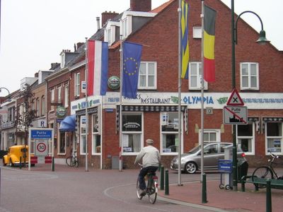
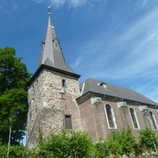
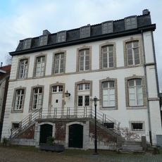
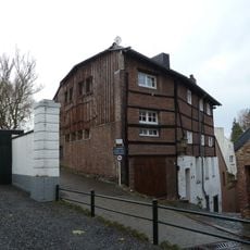
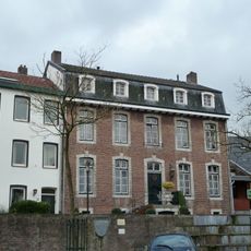
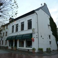
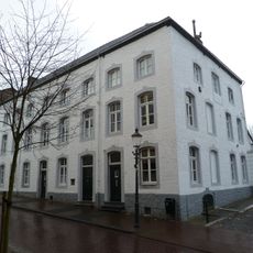
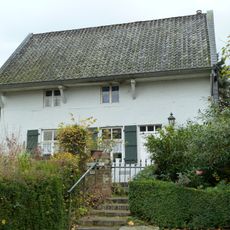
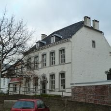
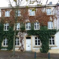
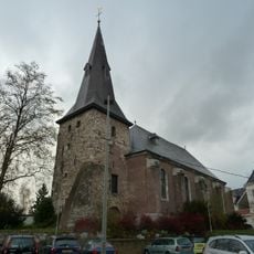
The border region shapes daily life through distinct languages and customs that remain visible on both sides. Visitors to these border towns notice these lived differences in buildings, shops, and local habits immediately.
Travelers can cross freely at multiple points without border checks due to the Schengen Agreement and earlier Benelux Union arrangements. The region is well connected by roads and paths, and many border towns are easily accessible on foot or by car.
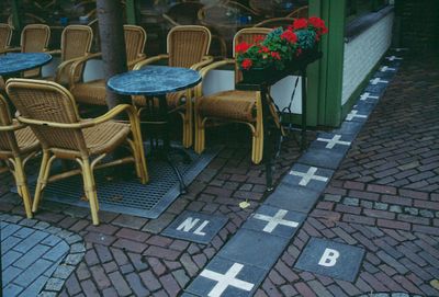
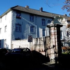
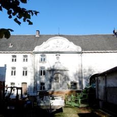
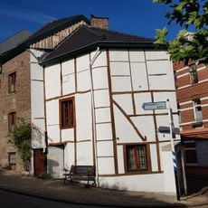
In Baarle-Nassau, Belgian and Dutch territories interweave so closely that individual houses and streets sit on both sides simultaneously. This mosaic resulted from intricate historical negotiations and creates an unusual geographical situation that persists today.
The community of curious travelers
AroundUs brings together thousands of curated places, local tips, and hidden gems, enriched daily by 60,000 contributors worldwide.