
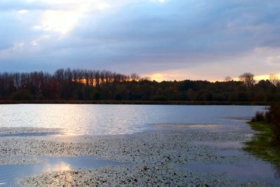
Tösch-Langeren
GPS coordinates: 51.09156,5.73366
Latest update: May 27, 2025 16:31
Ommerstein Castle
5.1 km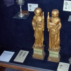
Aldeneik Abbey
5.2 km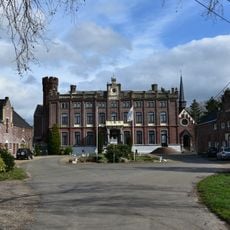
Kasteel Sipernau
2.2 km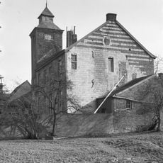
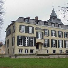
Castle Eijckholt
5.6 km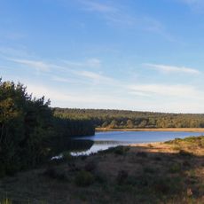
Bergerven
4 km
Kapel van de Weerstand
4.7 km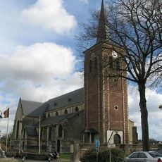
Sint-Lambertuskerk
2 km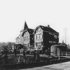
Castle of Wurfeld
1.6 km
Sint-Gertrudiskerk
4.6 km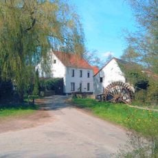
Volmolen
4.5 km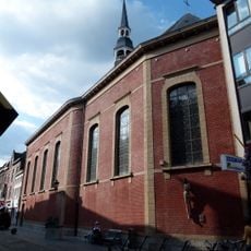
Kruisherenkerk
3.9 km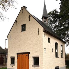
Sint-Harlindis en Relindiskapel
5.1 km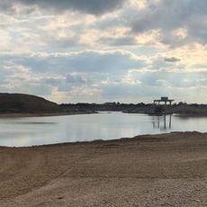
Elerweerd
4.3 km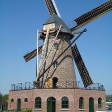
De Hoop, Elen
3.1 km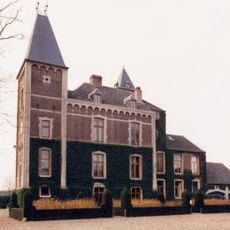
De Oude Kuil
3.3 km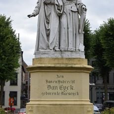
Hubert & Jan van Eyck
4.1 km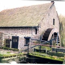
Leverenmolen
3.8 km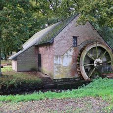
Klaaskensmolen
2.4 km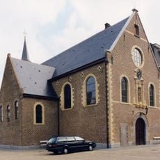
Franciscanenkerk
4.1 km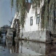
Bosmolen
3.5 km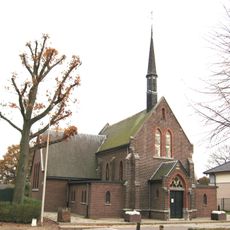
Sint-Laurentiuskerk
1.9 km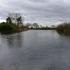
De Broeken
2.7 km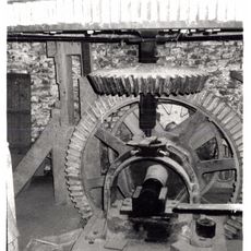
Wurfeldermolen
1.7 km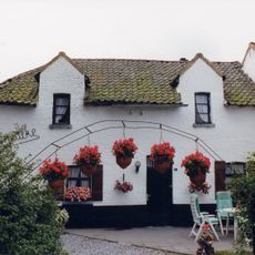
't Meulke
5.4 km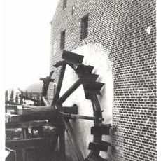
Langerenmolen
1.2 km
Musea Maaseik - Regionaal archeologisch Museum en Apotheekmuseum
4 km
Onze-Lieve-Vrouw Hulp der Christenenkerk
3.3 km
Eyckholtstraat 21, Roosteren
5.6 kmReviews
Visited this place? Tap the stars to rate it and share your experience / photos with the community! Try now! You can cancel it anytime.
Discover hidden gems everywhere you go!
From secret cafés to breathtaking viewpoints, skip the crowded tourist spots and find places that match your style. Our app makes it easy with voice search, smart filtering, route optimization, and insider tips from travelers worldwide. Download now for the complete mobile experience.

A unique approach to discovering new places❞
— Le Figaro
All the places worth exploring❞
— France Info
A tailor-made excursion in just a few clicks❞
— 20 Minutes