
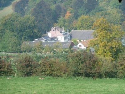
Altenbroek, nature area in Voeren, Belgium
Location: Voeren
Part of: Voerstreek
GPS coordinates: 50.76458,5.79024
Latest update: May 27, 2025 16:29
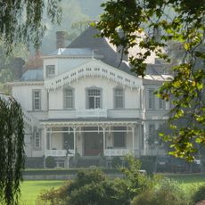
Castle Altenbroek
228 m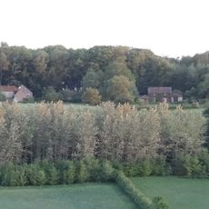
Schoppemerheide
1.1 km
Horstergrub
1.3 km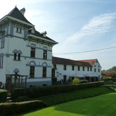
Molen van Altenbroek
171 m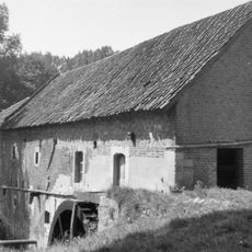
Molen op de Meulenberg, 's-Gravenvoeren
1.1 km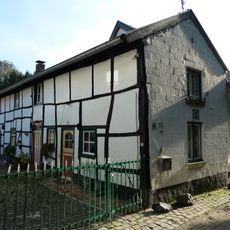
Steegstraat 19, Mheer
1.4 km
Belgium-Netherlands boundary stone no. 22c
555 m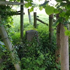
Belgium-Netherlands boundary stone no. 22b
713 m
Klompestraat 2, Noorbeek
1.4 km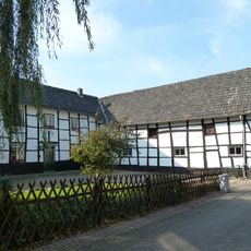
Kempestraat 6, Noorbeek
1.3 km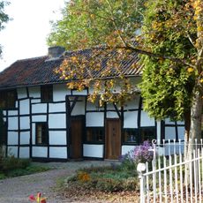
Wesch 4, Noorbeek
1.4 km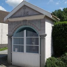
Mariakapel Schophem
1.4 km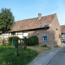
Martelehofke
1.3 km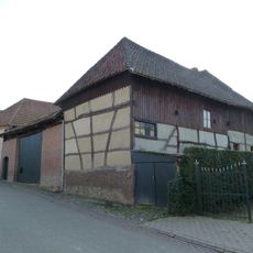
Stallestraat 18, Mheer
1.3 km
Belgium-Netherlands boundary stone no. 24a
1.3 km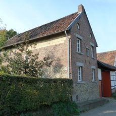
Stallestraat 32, Mheer
1.2 km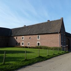
Stallestraat 34, Mheer
1.2 km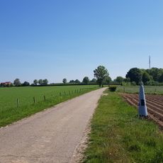
Belgium-Netherlands boundary stone no. 23
658 m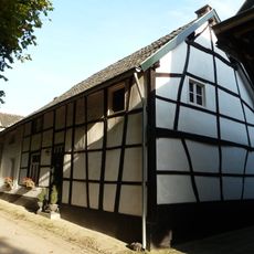
Steegstraat 21, Mheer
1.4 km
Steegstraat 23, Mheer
1.4 km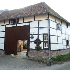
Kempestraat 2, Noorbeek
1.3 km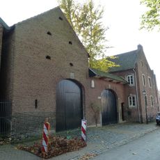
Onderstraat 10, Noorbeek
1.4 km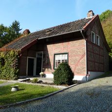
Wesch 1, Noorbeek
1.4 km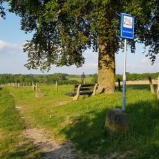
Belgium-Netherlands boundary stone no. 22a
1.1 km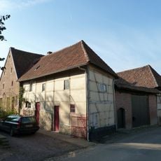
Stallestraat 20, Mheer
1.3 km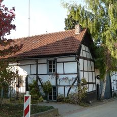
Stallestraat 14, Mheer
1.4 km
Stallestraat 12, Mheer
1.4 km
GP24
499 mVisited this place? Tap the stars to rate it and share your experience / photos with the community! Try now! You can cancel it anytime.
Discover hidden gems everywhere you go!
From secret cafés to breathtaking viewpoints, skip the crowded tourist spots and find places that match your style. Our app makes it easy with voice search, smart filtering, route optimization, and insider tips from travelers worldwide. Download now for the complete mobile experience.

A unique approach to discovering new places❞
— Le Figaro
All the places worth exploring❞
— France Info
A tailor-made excursion in just a few clicks❞
— 20 Minutes