Enable Location

We need your location to show you interesting places around you

Discover nearby places

Find interesting locations and hidden gems around you

Precise directions

Get accurate directions and distances to places

Your location is never shared with other users. It's only used when you tap the location button.

Lievegem

Log in to your account

Join the adventure

Create your free account and start exploring

Save your favorite places
Create custom travel routes
Rate and review places
Access the full interactive map
Continue with Google
Continue with Apple
Continue with email
By continuing, you accept our Terms and Conditions and our Privacy Policy
Create an account

Lievegem, Administrative municipality in East Flanders, Belgium

Description

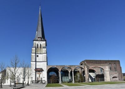
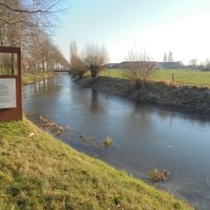
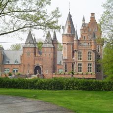
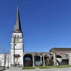
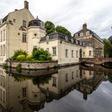
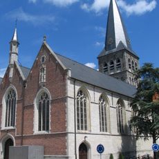
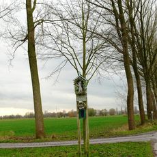
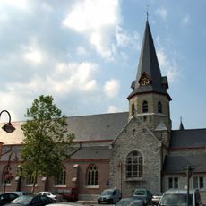
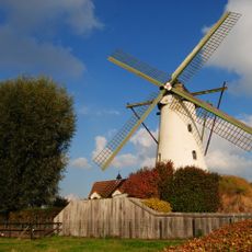
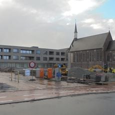
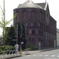
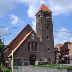
Lievegem is a municipality in East Flanders made up of six different districts: Lovendegem, Oostwinkel, Zomergem, Waarschoot, Nevele, and Lievegem itself. The Lieve Canal runs through the area and connects rural zones with smaller town centers.

History

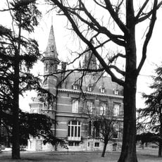
The area was formed on January 1, 2019, when three separate municipalities merged: Waarschoot, Lovendegem, and Zomergem. This brought together three historically independent communities under a single administration.

Culture

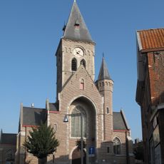
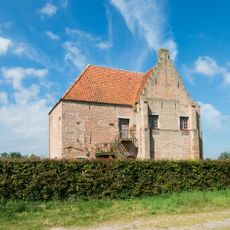
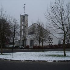
The name comes from the Lieve Canal that runs through the area and has shaped how people live there for centuries. Each of the six districts has kept its own local traditions, which you can see in the way the town centers look and in community events.

Practical

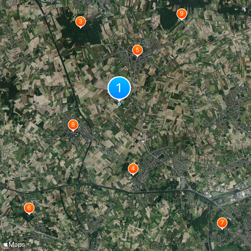
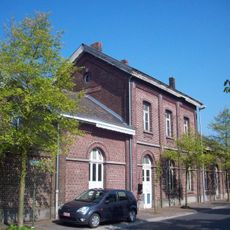
The area is served by six different postal code zones, each corresponding to a district and making it easy to navigate for visitors and residents. The individual town centers are easily reached by car or bicycle and offer local services and shops.

Did you know?

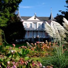
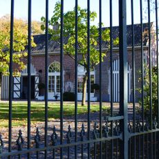
Each of the six districts kept its own name and identity even though they now operate under a single administration. This means visitors can travel between quite different places with different characters without leaving the municipality.

i
Inception
January 1, 2019
i
Capital city
Lovendegem
i
Operator
Gemeente Lievegem
i
Part of
Emergency zone East Flanders Center, Policijska cona Deinze-Zulte-Lievegem
i
Shares border with
Aalter, Deinze, Ghent, Evergem, Kaprijke, Eeklo, Maldegem
i
Phone
i
GPS coordinates
51.13035,3.59325
i
Latest update
December 20, 2025 13:05

AroundUs brings together thousands of curated places, local tips, and hidden gems, enriched daily by 60,000 contributors worldwide. Discover all places nearby (Arrondissement of Ghent).

Reviews

Visited this place? Tap the stars to rate it and share your experience / photos with the community! Try now! You can cancel it anytime.

« Lievegem - Administrative municipality in East Flanders, Belgium » is provided by Around Us (aroundus.com). Images and texts are derived from Wikimedia project under a Creative Commons license. You are allowed to copy, distribute, and modify copies of this page, under the conditions set by the license, as long as this note is clearly visible.

Discover hidden gems everywhere you go!

From secret cafés to breathtaking viewpoints, skip the crowded tourist spots and find places that match your style. Our app makes it easy with voice search, smart filtering, route optimization, and insider tips from travelers worldwide. Download now for the complete mobile experience.

Around Us App Screenshot

A unique approach to discovering new places

Le Figaro

All the places worth exploring

France Info

A tailor-made excursion in just a few clicks

20 Minutes