
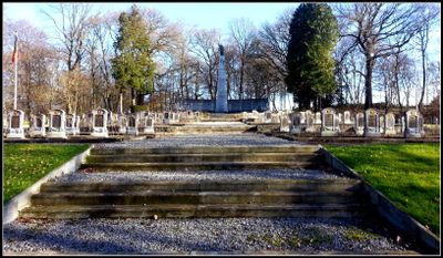
Cimetière militaire belge de Rabosée, Wandre
Location: Liège
Inception: 1925
Official opening: 1925
GPS coordinates: 50.67142,5.66729
Latest update: May 27, 2025 16:26
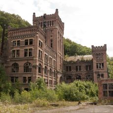
Coal mine of Hasard de Cheratte
1.1 km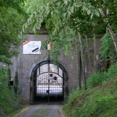
Fort de Barchon
1.8 km
Fort de Pontisse
3 km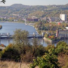
Pont-barrage de Monsin
3.4 km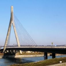
Pont de Wandre
1.6 km
Timber frame house, 6-8 Rue des Mârets
528 m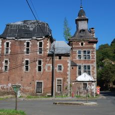
Château Saroléa
824 m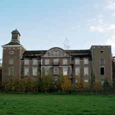
Château de Méan
2.3 km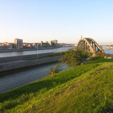
Monsin railway bridge
1.8 km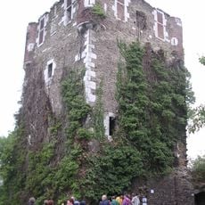
Vieux Château de Saive
1.7 km
Viaduct van Cheratte
844 m
Pont de Milsaucy
2 km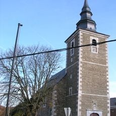
Église Saint-Pierre
2.3 km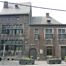
Musée Communal
2 km
Église Notre-Dame de la Licour
1.9 km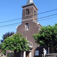
Église Saint-Lambert
3.3 km
Église Notre-Dame du Bon Secours
2.8 km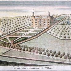
Castell de Méan
2.4 km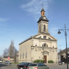
Onze-Lieve-Vrouwekerk
1.5 km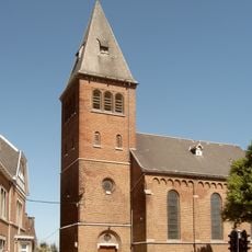
Église Saint-Clément
2.1 km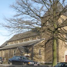
Église Saint-Joseph de Visé
1.7 km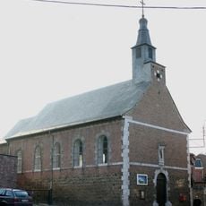
Église Notre-Dame de la Visitation
3 km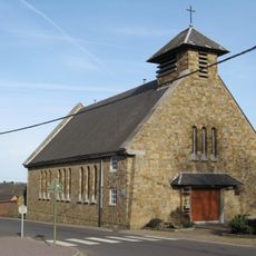
Onze-Lieve-Vrouw Tenhemelopnemingskerk
3 km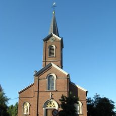
Saint Peter'church
3.1 km
Le Hemlot
2.9 km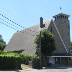
Église Saint-Jean-Baptiste
2 km
Église Saint-Étienne
400 m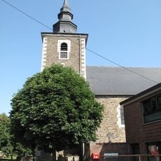
Église Notre-Dame du Mont-Carmel
1.1 kmReviews
Visited this place? Tap the stars to rate it and share your experience / photos with the community! Try now! You can cancel it anytime.
Discover hidden gems everywhere you go!
From secret cafés to breathtaking viewpoints, skip the crowded tourist spots and find places that match your style. Our app makes it easy with voice search, smart filtering, route optimization, and insider tips from travelers worldwide. Download now for the complete mobile experience.

A unique approach to discovering new places❞
— Le Figaro
All the places worth exploring❞
— France Info
A tailor-made excursion in just a few clicks❞
— 20 Minutes