De Polders van Dudzele en Koolkerke
Location: West Flanders
Operator: Natuurpunt Brugge
GPS coordinates: 51.25234,3.24779
Latest update: March 25, 2025 21:54
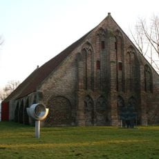
Ter Doest Abbey
4.5 km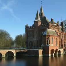
Kasteel Ten Berghe
2 km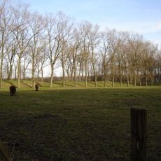
Fort van Beieren
1.6 km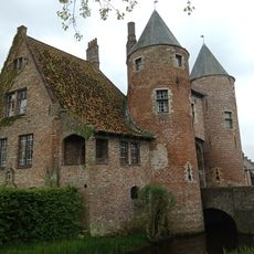
Kasteel van Oostkerke
4.1 km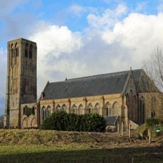
Onze-Lieve-Vrouw-Hemelvaartkerk
2.5 km
Uilenspiegelmuseum
2.4 km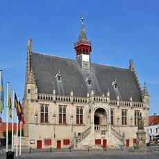
Damme town hall
2.2 km
Dudzelebrug
4.9 km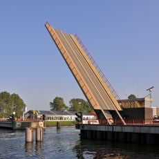
Herdersbrug
3.1 km
Roskambrug
3.5 km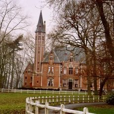
Kasteel De Spijker
3.2 km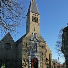
Sint-Pietersbandenkerk
2.8 km
Schellemolen, Damme
2.1 km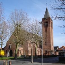
Sint-Jozefkerk
3.2 km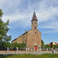
Sint-Pieterskerk
3.9 km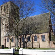
Sint-Quintinuskerk
4.3 km
Kasteel Ten Poele
3.7 km
Verbrand Fort
3.4 km
De Groene Tente
2.8 km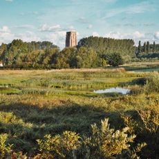
Weidevogelreservaat Ter Doest
5.1 km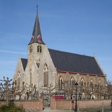
Sint-Niklaaskerk
1.1 km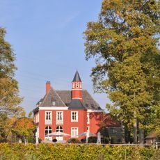
Groene Poort Castle
2.1 km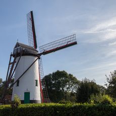
Dorpsmolen
4.2 km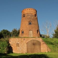
Ter Pannemolen
2.5 km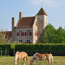
Hoeve Peralta
2.7 km
Sculpture group Thyl Ulenspiegel
2.2 km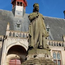
Jacob van Maerlant
2.3 km
Scenic viewpoint
5.1 kmReviews
Visited this place? Tap the stars to rate it and share your experience / photos with the community! Try now! You can cancel it anytime.
Discover hidden gems everywhere you go!
From secret cafés to breathtaking viewpoints, skip the crowded tourist spots and find places that match your style. Our app makes it easy with voice search, smart filtering, route optimization, and insider tips from travelers worldwide. Download now for the complete mobile experience.

A unique approach to discovering new places❞
— Le Figaro
All the places worth exploring❞
— France Info
A tailor-made excursion in just a few clicks❞
— 20 Minutes