
Bunker ML 13, bunker in Emblem (Ranst), België
Location: Ranst
Part of: Defence 1st line
Address: Dorpsstraat 110-126
GPS coordinates: 51.16040,4.59653
Latest update: June 12, 2025 13:39
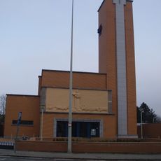
Heilig Hartkerk
3.6 km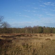
Kesselse Heide
2.4 km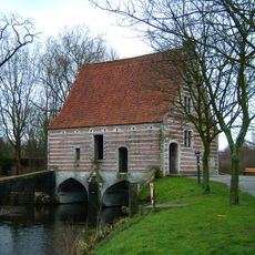
Spuihuis
3.2 km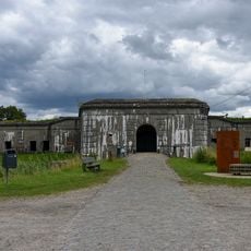
Fort van Kessel
2.4 km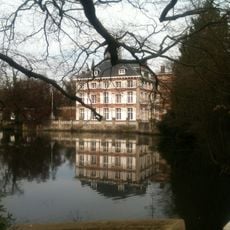
Castle de Bist
1.6 km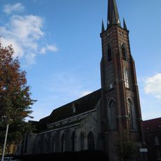
Kluizekerk
3.5 km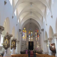
Sint-Jozef en Bernarduskerk
2.3 km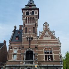
Town hall of Emblem
640 m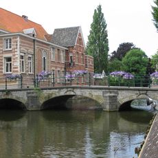
Mosdijk
3.6 km
Abdij Onze-Lieve-Vrouw van Nazareth
2.3 km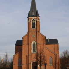
Sint-Gummaruskerk
771 m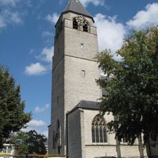
Sint-Lambertuskerk
3.3 km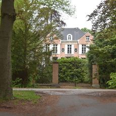
Kasteel Heidebloem
1.8 km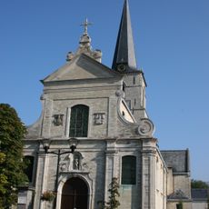
Onze-Lieve-Vrouwekerk
2.4 km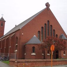
Heilig Kruiskerk
3.3 km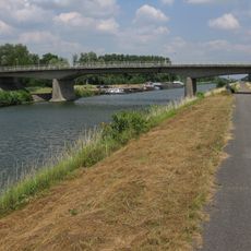
Emblembrug
731 m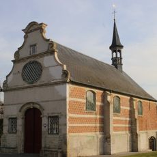
Sint-Gummaruskapel
266 m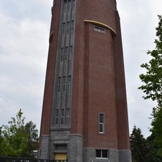
Watertoren Eeuwfeestlaan
3.2 km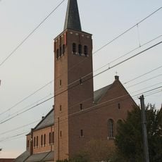
Onze-Lieve-Vrouw Koningin van de Vredekerk
1.8 km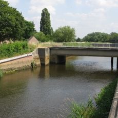
Maasfortbrug
3 km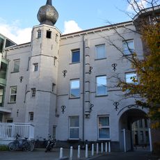
Refugiehuis van de abdij van Nazareth
3.4 km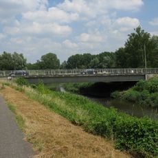
Emblem bridge
893 m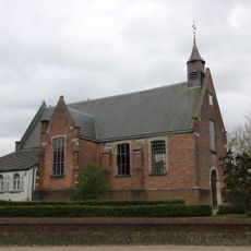
Allierse kapel
1.3 km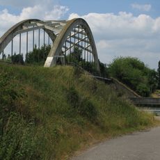
Mol-ter-Nete bridge
3.2 km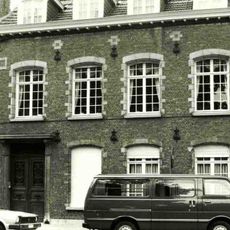
Refugiehuis Sint-Bernardus
3.5 km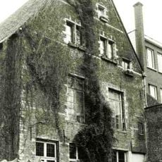
Refugie Sint-Merten tot Loven
3.6 km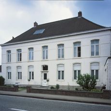
Pastorie van Kessel
3.3 km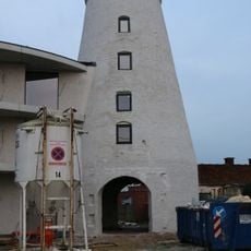
Stenen molen
3.4 kmReviews
Visited this place? Tap the stars to rate it and share your experience / photos with the community! Try now! You can cancel it anytime.
Discover hidden gems everywhere you go!
From secret cafés to breathtaking viewpoints, skip the crowded tourist spots and find places that match your style. Our app makes it easy with voice search, smart filtering, route optimization, and insider tips from travelers worldwide. Download now for the complete mobile experience.

A unique approach to discovering new places❞
— Le Figaro
All the places worth exploring❞
— France Info
A tailor-made excursion in just a few clicks❞
— 20 Minutes