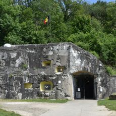
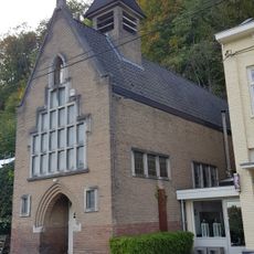
Oppidum Caestert, Celtic archaeological site near Visé, Belgium
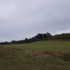
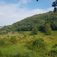
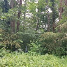
Oppidum Caestert is a Celtic fortified settlement perched on a limestone plateau near Vise and covers a large expanse with defensive structures. The fortifications combined wooden frames and stone construction arranged around the perimeter of the inhabited area.
The settlement developed during the Iron Age and served for several centuries as a fortified control point in the region. It held strategic importance for monitoring trade routes and facilitating exchange across longer distances.
The site served as a working center where people made things for trade and exchange with distant regions. The remains show that inhabitants possessed specialized skills and participated in broader networks of commerce.
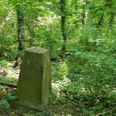
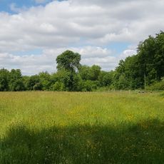
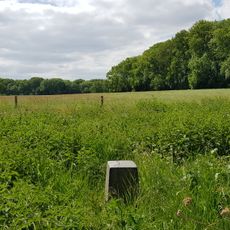
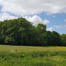
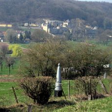
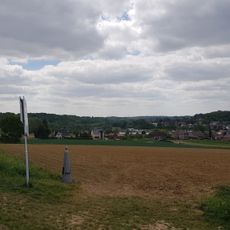
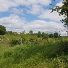
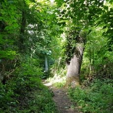
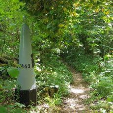
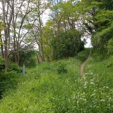
The site remains partially accessible today with visible wall remnants and depressions from the old structures. Visitors should expect uneven ground conditions and wear sturdy footwear for comfortable exploration.
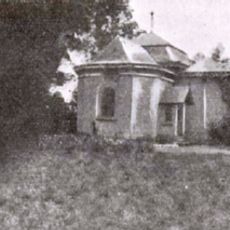
Much remains buried underground, with artifacts testifying to the craftspeople who worked there and their daily lives. Archaeologists continue discovering tools and household items that reveal how these inhabitants actually worked and lived.
Location: Riemst
Location: Visé
Website: https://oar.onroerenderfgoed.be/publicaties/STUA/3/STUA003-001.pdf
GPS coordinates: 50.80720,5.68624
Latest update: December 14, 2025 13:01
Fort Eben-Emael
1.2 km
Canal Maastricht-Liège
1.1 km
Castle Caestert
267 m
Sint Pietersberg kunstbunker
811 m
Canal of Lanaye
751 m
Farm Caestert
220 m
Bridge at Kanne
1.1 km
Poppelmondedal
1.2 km
Chapel of Caestert
337 m
Sint-Hubertuskerk
1.1 km
Belgium-Netherlands boundary stone no. 49
668 m
Church of Petit-Lanaye
270 m
Belgium-Netherlands boundary stone no. 51a
524 m
Belgium-Netherlands boundary stone no. 50
622 m
Belgium-Netherlands boundary stone no. 51
589 m
Belgium-Netherlands boundary stone no. 53a
544 m
Belgium-Netherlands boundary stone no. 53b
571 m
Belgium-Netherlands boundary stone no. 60
1 km
Belgium-Netherlands boundary stone no. 53c
560 m
ENCI-weide
978 m
Grenspaal 59
993 m
Grenspaal 58
836 m
Belgium-Netherlands boundary stone no. 61
1.2 km
Belgium-Netherlands boundary stone no. 55
705 m
Belgium-Netherlands boundary stone no. 52
546 m
Lage Kanaaldijk 124, Maastricht
1 km
Belgium-Netherlands boundary stone no. 53
538 m
Belgium-Netherlands boundary stone no. 57
689 mVisited this place? Tap the stars to rate it and share your experience / photos with the community! Try now! You can cancel it anytime.
Discover hidden gems everywhere you go!
From secret cafés to breathtaking viewpoints, skip the crowded tourist spots and find places that match your style. Our app makes it easy with voice search, smart filtering, route optimization, and insider tips from travelers worldwide. Download now for the complete mobile experience.
A unique approach to discovering new places❞
— Le Figaro
All the places worth exploring❞
— France Info
A tailor-made excursion in just a few clicks❞
— 20 Minutes