
Sainte-Anne-de-Sorel, municipality in Quebec, Canada
Location: Pierre-De Saurel
Inception: May 14, 1877
Shares border with: Saint-Ignace-de-Loyola, Sorel‐Tracy, Saint-Robert, Saint-François-du-Lac, Yamaska
Website: http://sainteannedesorel.ca
GPS coordinates: 46.05000,-73.06670
Latest update: March 5, 2025 16:14
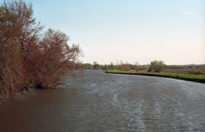
Fort Richelieu
3.8 km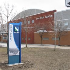
Colisée Cardin
3.1 km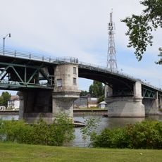
Pont Turcotte
4.1 km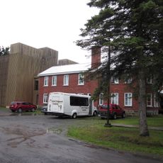
Musée des Abénakis
19.1 km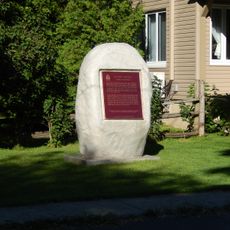
Fort Crevier
15.7 km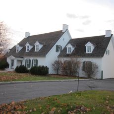
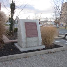
Governors' Cottage
4.3 km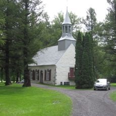
Cuthbert Chapel
9.7 km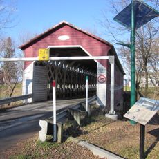
Pont Grandchamp
12.2 km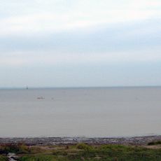
Lac-Saint-Pierre Biosphere Reserve
16.8 km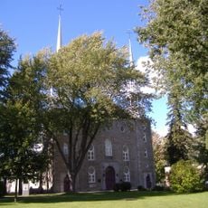
Church of St Genevieve
9.3 km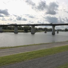
Pont David-Laperrière
19.4 km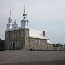
Église Saint-François-Xavier de Saint-François-du-Lac
18.6 km
Biophare
3.1 km
Îlette-au-Pé
7.5 km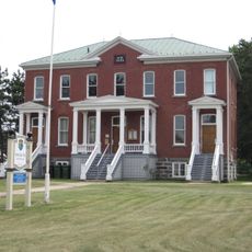
Édifice de la MRC-de-Nicolet-Yamaska
18.5 km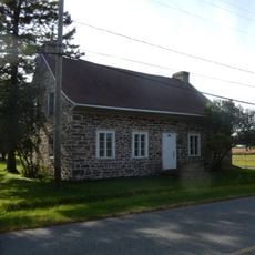
Maison Joseph-Courchesne
16.1 km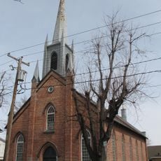
Église Christ Church de Sorel-Tracy
3.7 km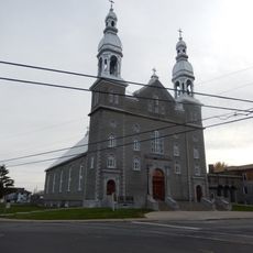
Église de Saint-Pierre de Sorel
3.2 km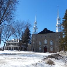
Site patrimonial de Sainte-Geneviève
9.3 km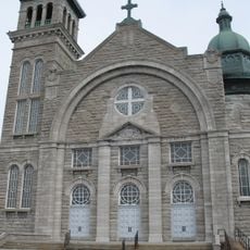
Église Notre-Dame-du-Perpétuel-Secours
3.7 km
Marché Richelieu du Vieux-Sorel
4 km
Ancien monastère des Moniales-Dominicaines-de-Berthierville
9.2 km
Commune de l'Île-Dupas
10 km
Presbytère de Saint-François-du-Lac
18.7 km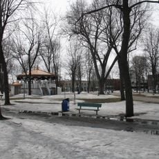
Carré Royal
3.8 km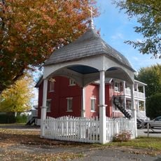
Calvaire Albert-Mondoux
13.4 km
Site archéologique Mandeville
9.5 km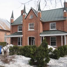
Presbytère Christ Church de Sorel-Tracy
3.7 kmVisited this place? Tap the stars to rate it and share your experience / photos with the community! Try now! You can cancel it anytime.
Discover hidden gems everywhere you go!
From secret cafés to breathtaking viewpoints, skip the crowded tourist spots and find places that match your style. Our app makes it easy with voice search, smart filtering, route optimization, and insider tips from travelers worldwide. Download now for the complete mobile experience.

A unique approach to discovering new places❞
— Le Figaro
All the places worth exploring❞
— France Info
A tailor-made excursion in just a few clicks❞
— 20 Minutes