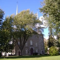
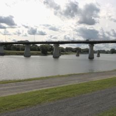
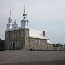
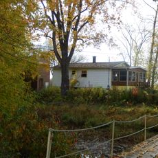
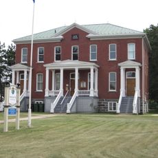
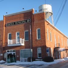
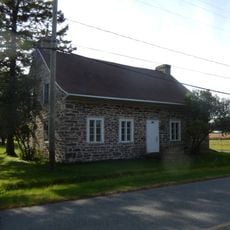
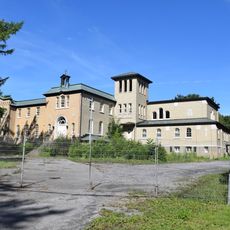
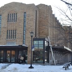
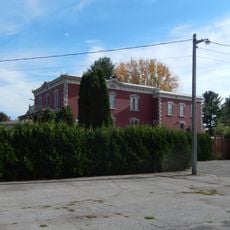
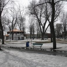
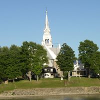
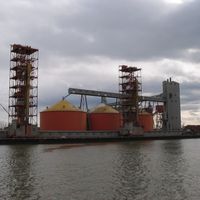
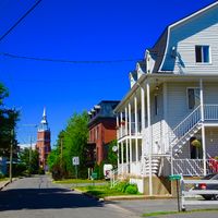
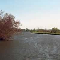
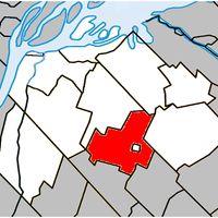
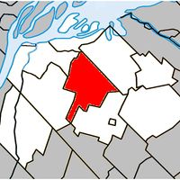
Pierre-De Saurel, regional county municipality in Quebec, Canada
The community of curious travelers
AroundUs brings together thousands of curated places, local tips, and hidden gems, enriched daily by 60,000 contributors worldwide.
Location
Inception
January 1, 1982
Capital city
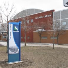
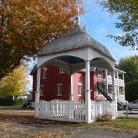
Sorel‐Tracy
Part of
Montérégie-Est
Shares border with
Nicolet-Yamaska, D'Autray, Drummond, Les Maskoutains, Marguerite-D'Youville
Website
GPS coordinates
45.96670,-73.00000
Latest update
March 9, 2025 13:34