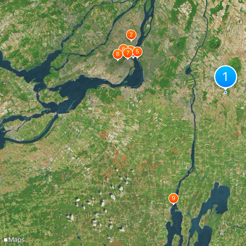
Montérégie, Administrative region south of Montreal, Canada
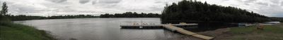
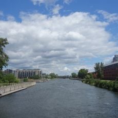
Montérégie is an administrative region south of Montreal that stretches along the Saint Lawrence River, covering farmland, scattered hills, and several municipalities between the metropolis and the border with the United States. The region occupies a wide plain with isolated elevations and connects urban centers with rural areas.
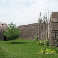
The name comes from the early 20th century when a geologist described the volcanic hills of the region. The area was inhabited by Indigenous peoples long before European settlement and later developed into a major agricultural zone.
The territory includes two Mohawk reserves, Kahnawake and Akwesasne, which maintain their traditional customs while contributing to the region's multicultural landscape.
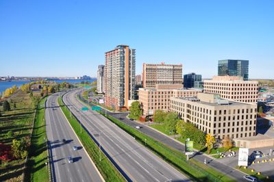
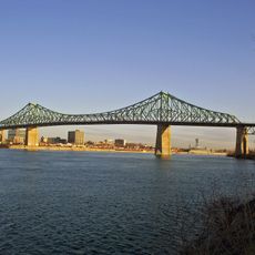
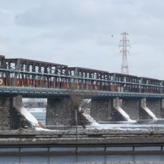
The city of Longueuil serves as the regional center and offers direct connections to Montreal via bridges and tunnels. Visitors can choose between urban neighborhoods and wide farmland areas that remain accessible throughout the year.
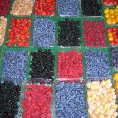
The region supplies a large share of Quebec agricultural products, including apples, maple syrup, and wine from local vineyards. Numerous farm stands and markets offer the chance to buy fresh produce directly from growers.
The community of curious travelers
AroundUs brings together thousands of curated places, local tips, and hidden gems, enriched daily by 60,000 contributors worldwide.