Enable Location

We need your location to show you interesting places around you

Discover nearby places

Find interesting locations and hidden gems around you

Precise directions

Get accurate directions and distances to places

Your location is never shared with other users. It's only used when you tap the location button.

Log in to your account

Start exploring — it's free

Trusted by 61,903 travelers worldwide

Continue with Google
Continue with Apple
or

We will send you a code to connect

By continuing, you accept our Terms and Conditions and our Privacy Policy

Check your inbox

We've sent a pincode in your inbox. Please enter the code below.

Urban agglomeration of Longueuil, Administrative territory in Montérégie, Canada.

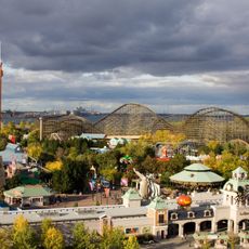
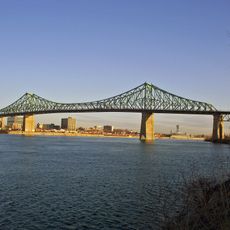
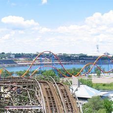
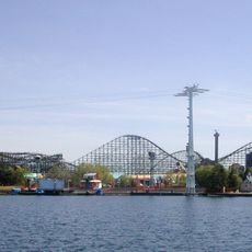
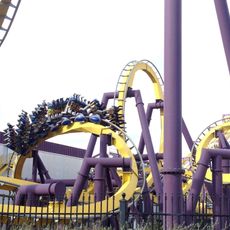
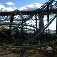
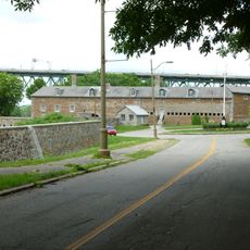
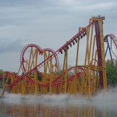
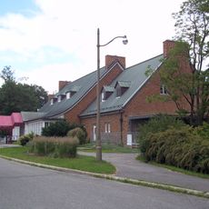
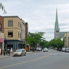
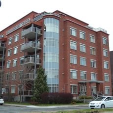
The Urban Agglomeration of Longueuil covers five municipalities—Boucherville, Brossard, Longueuil, Saint-Lambert, and Saint-Bruno-de-Montarville—sitting on the south bank of the Saint Lawrence River. The territory shows a mix of residential neighborhoods, business areas, and green spaces that blend together across towns large and small.

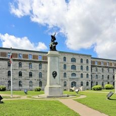
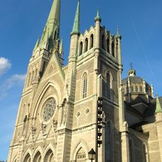
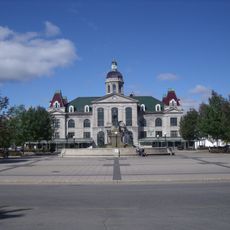
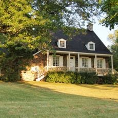
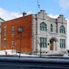
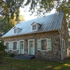
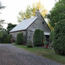
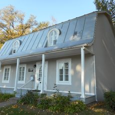
The area began as a French colonial settlement and kept its French identity through the centuries. In 2002, eight municipalities merged to form a new city, but four of them later became independent again while staying connected through a shared administrative structure.

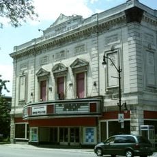
The area maintains French-Canadian traditions that you notice in its buildings and how people gather in public spaces, especially in older neighborhoods where community life carries on through local habits. Walking through the towns, you see this reflected in street celebrations, family-oriented markets, and how residents use parks as meeting places.

Getting around between the five towns is easy since they sit close together with local bus routes and train connections linking them. Spring and fall are good times to visit when the weather is mild and streets feel more active.

The five towns work together to coordinate services like waste management and emergency response, even though each keeps its own local government. This setup shows how different places can cooperate without giving up local control.

The community of curious travelers

AroundUs brings together thousands of curated places, local tips, and hidden gems, enriched daily by 60,000 contributors worldwide.

Start exploring
Location
Inception
January 1, 2002
Shares border with
GPS coordinates
45.53330,-73.51670
Latest update
December 7, 2025 20:41
Administrative divisions
« Urban agglomeration of Longueuil - Administrative territory in Montérégie, Canada » is provided by Around Us (aroundus.com). Images and texts are derived from Wikimedia project under a Creative Commons license. You are allowed to copy, distribute, and modify copies of this page, under the conditions set by the license, as long as this note is clearly visible.

Discover hidden gems everywhere you go!

From secret cafés to breathtaking viewpoints, skip the crowded tourist spots and find places that match your style. Our app makes it easy with voice search, smart filtering, route optimization, and insider tips from travelers worldwide. Download now for the complete mobile experience.

Around Us App Screenshot

A unique approach to discovering new places

Le Figaro

All the places worth exploring

France Info

A tailor-made excursion in just a few clicks

20 Minutes

Around Us
Travel Guide & Maps
Download

Send to your phone

QR Code
1

Open the camera app on your mobile.

2

Point at the QR code with your camera. A notification will appear.

3

Tap the notification to open the link.