Enable Location

We need your location to show you interesting places around you

Discover nearby places

Find interesting locations and hidden gems around you

Precise directions

Get accurate directions and distances to places

Your location is never shared with other users. It's only used when you tap the location button.

Saint Helen's Island

Log in to your account

Start exploring — it's free

Trusted by 61,444 travelers worldwide

Continue with Google
Continue with Apple
or

We will send you a code to connect

By continuing, you accept our Terms and Conditions and our Privacy Policy

Check your inbox

We've sent a pincode in your inbox. Please enter the code below.

Saint Helen's Island

Saint Helen's Island, River island in Ville-Marie, Canada.

Description

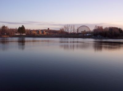
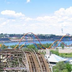
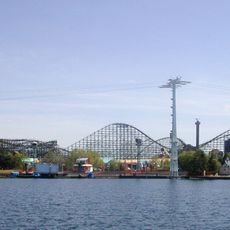
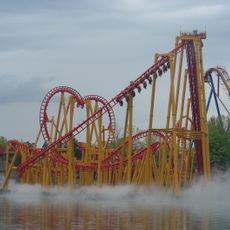
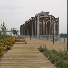
Saint Helen's Island is a river island in the Saint Lawrence near the centre of Montreal, covering several hectares of green spaces, walkways and public buildings. The island houses museums, recreational facilities and remnants of military structures scattered among parks and lookouts over the water.

History

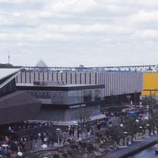
The British army purchased the island in 1818 and built a fort between 1820 and 1824 to strengthen defences along the river. During Expo 67, the site was greatly expanded and reshaped, using soil from metro construction to create new areas for pavilions and facilities.

Culture

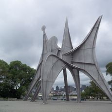
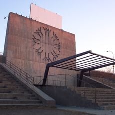
The place takes its name from Helena de Champlain, wife of French explorer Samuel de Champlain, who lived in the 17th century. Today, various monuments and plaques recall the 1967 World's Fair, when the island became the centre of an international gathering and took its present shape.

Practical

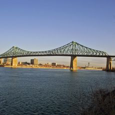
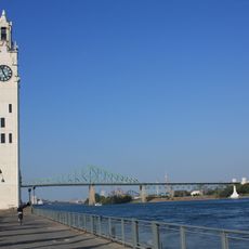
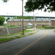
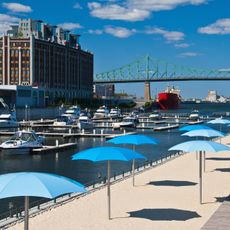
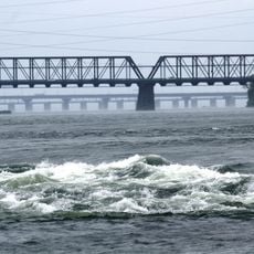
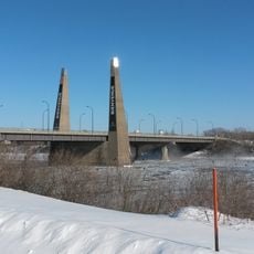
Visitors reach the island via the Jacques-Cartier Bridge, the Concorde Bridge, or by metro at Jean-Drapeau station on the yellow line. In summer, the grounds are easy to walk or cycle around, while in winter some areas become less accessible due to ice and snow.

Did you know?

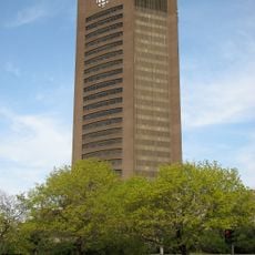
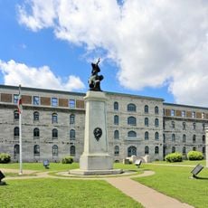
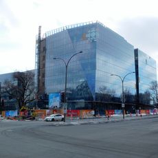
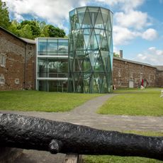
The Stewart Museum sits inside the old fort walls from the 19th century and displays collections on military and everyday history. The geodesic dome of the Biosphere, a leftover from Expo 67, is now an environmental museum and visible from far away.

Location
Part of
Hochelaga Archipelago
GPS coordinates
45.51778,-73.53389
Latest update
December 21, 2025 16:05

AroundUs brings together thousands of curated places, local tips, and hidden gems, enriched daily by 60,000 contributors worldwide. Discover all places nearby (Ville-Marie).

Expo 67 architectural structures in Montreal

Expo 67 left a lasting mark on Montreal, with several architectural structures still standing decades after the World Fair closed. The exhibition, held on islands in the Saint Lawrence River, attracted more than 50 million visitors and marked a turning point in the city's development. Many of the...

« Saint Helen's Island - River island in Ville-Marie, Canada » is provided by Around Us (aroundus.com). Images and texts are derived from Wikimedia project under a Creative Commons license. You are allowed to copy, distribute, and modify copies of this page, under the conditions set by the license, as long as this note is clearly visible.

Discover hidden gems everywhere you go!

From secret cafés to breathtaking viewpoints, skip the crowded tourist spots and find places that match your style. Our app makes it easy with voice search, smart filtering, route optimization, and insider tips from travelers worldwide. Download now for the complete mobile experience.

Around Us App Screenshot

A unique approach to discovering new places

Le Figaro

All the places worth exploring

France Info

A tailor-made excursion in just a few clicks

20 Minutes

Around Us
Travel Guide & Maps
Download

Send to your phone

QR Code
1

Open the camera app on your mobile.

2

Point at the QR code with your camera. A notification will appear.

3

Tap the notification to open the link.