Longueuil, Urban settlement in Greater Montreal, Canada
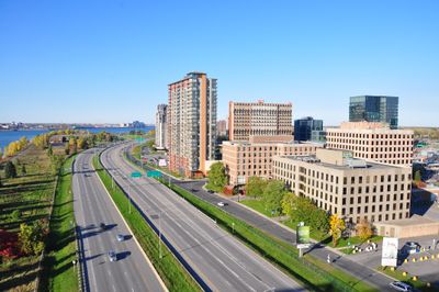
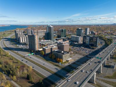
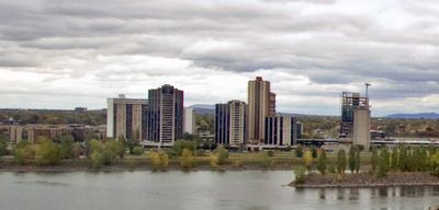
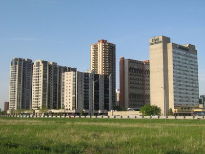
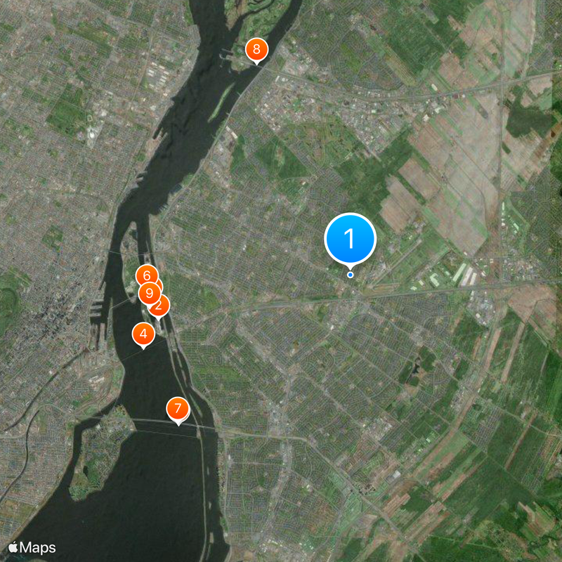
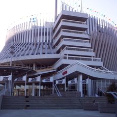
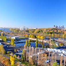
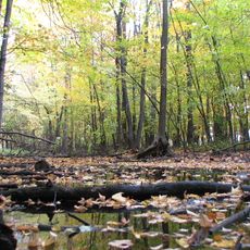
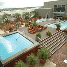
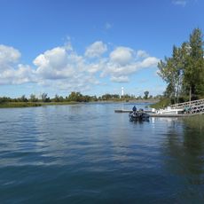
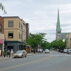
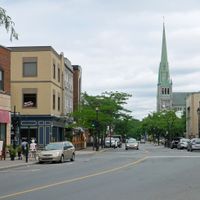
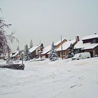
Longueuil is a settlement on the southern bank of the Saint Lawrence River, facing Montreal, and includes several merged neighborhoods such as Le Vieux-Longueuil, Greenfield Park, and Saint-Hubert. Along the waterfront and through inland residential areas, modern structures, parks, and commercial zones alternate, crossed by roadways leading toward downtown Montreal.
Charles Le Moyne received a seigneury here in the 17th century, and from that land grant the settlement grew over three centuries from a rural outpost into a suburban area. In the 20th century, mergers with surrounding municipalities created the current administrative structure.
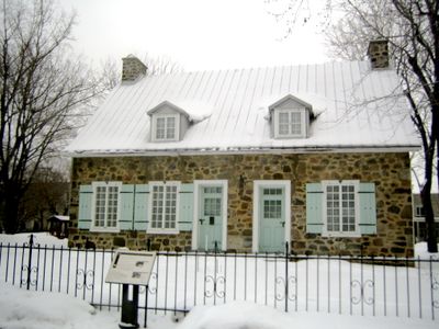
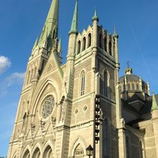
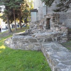
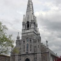
The name comes from a hamlet in Normandy, France, linking the place to its transatlantic roots. Walking through older sections today, visitors see buildings in the New France style, with steep roofs and thick stone walls that recall the colonial past.
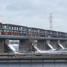
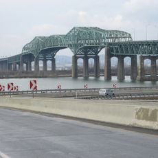
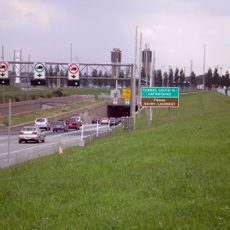
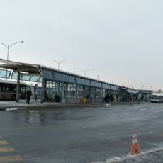
Travelers crossing between the riverbanks can use the Longueuil–Université-de-Sherbrooke metro station as a hub, with buses departing for all parts of the territory. Cyclists also find marked paths along the river and through residential streets, making it easier to reach green spaces and neighboring communities.
Before becoming a landholder, Le Moyne worked as an interpreter and learned Indigenous languages, helping him mediate between settlers and the original inhabitants of the region. That linguistic skill shaped early diplomatic relations and trade along the river.
The community of curious travelers
AroundUs brings together thousands of curated places, local tips, and hidden gems, enriched daily by 60,000 contributors worldwide.