Fort Montgomery, Military fort in Rouses Point, United States
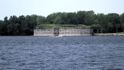
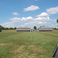
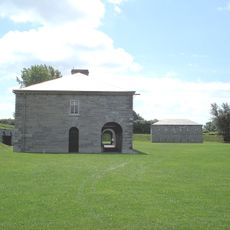
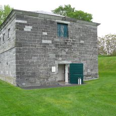
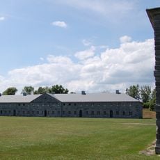
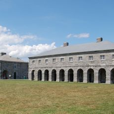
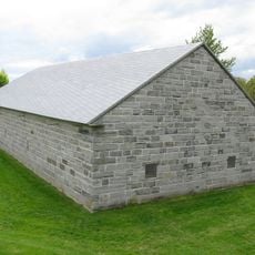
Fort Montgomery rises at the northern tip of Lake Champlain with stone walls reaching up to 48 feet (15 meters) and three tiers arranged for 125 guns. The six-sided limestone structure covers roughly five acres and features bastions at each corner along with an interior vaulted system.
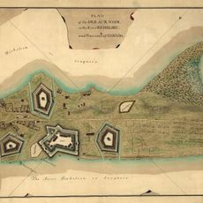
Construction began in 1844 after an earlier fort had been mistakenly built on Canadian soil, earning it the nickname Fort Blunder. Work was never fully completed and the site never saw active combat before being finally abandoned during World War II.
The casemates within the fortification were intended to house up to 1,200 soldiers and maintain a permanent military presence near the border. The name honors an officer from New York who fell during an early campaign into Canada in 1775.
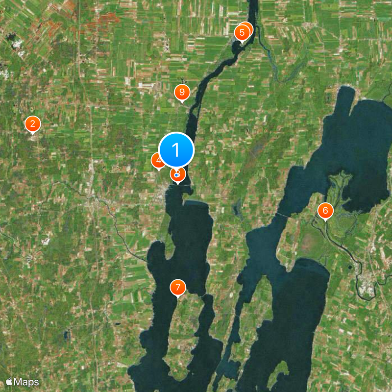
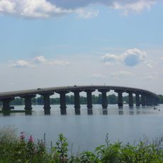
The fortification stands on private land and remains closed to visitors but can be viewed from the bridge connecting Rouses Point and Alburgh. A look from the bridge shows the entire exterior layout along with the massive walls from several angles while driving across.
Parts of the fortification structure were dismantled during the Great Depression to provide material for the bridge that now offers the best view of the ruins. The removed stones contributed directly to building the span now used daily by travelers between the two countries.
The community of curious travelers
AroundUs brings together thousands of curated places, local tips, and hidden gems, enriched daily by 60,000 contributors worldwide.