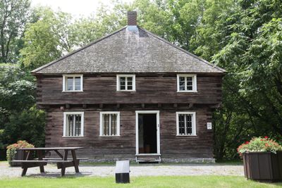
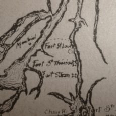
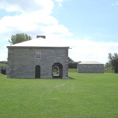
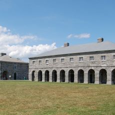
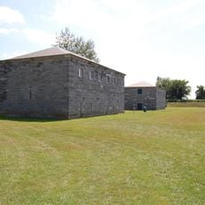
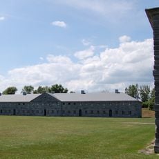
Lacolle Mills Blockhouse, building in Quebec, Canada
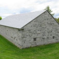
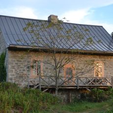
Lacolle Mills Blockhouse is a historic building in Saint-Paul-de-l'Île-aux-Noix with thick walls of wood and stone built with simple yet strong materials for defense. The structure has small windows and shows functional design focused on security rather than comfort.
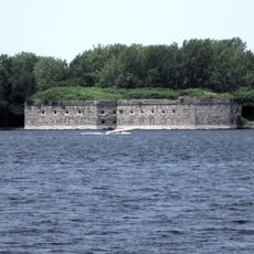
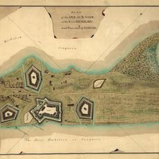
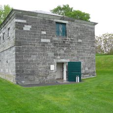
The blockhouse was built in 1781 and later played a key role in the Battle of Lacolle in March 1814 during the War of 1812. A small group of about 80 British and Canadian defenders held firm against about 4,000 American troops, shaping the course of the conflict.
The blockhouse stands as a simple stone structure that visitors experience as a quiet reminder of military days long past. Its plain design and riverside location show how the need for defense shaped the character of this place.
The site is located near the river and easy to reach, making it suitable for walks along the riverbank as well. Visiting is best in good weather and hours are limited, so checking availability beforehand is recommended.
The walls still show bullet holes from musket fire during the battle that visitors can see and touch directly. Modern virtual reality technology lets visitors experience a 360-degree reconstruction of the 1814 battle, helping them understand how intense that conflict was.
The community of curious travelers
AroundUs brings together thousands of curated places, local tips, and hidden gems, enriched daily by 60,000 contributors worldwide.