
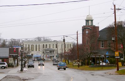
Brock, township in Durham Region, Ontario, Canada
Location: Regional Municipality of Durham
Inception: 1974
Shares border with: Scugog, Ramara, Kawartha Lakes, Uxbridge, Georgina
Website: http://townshipofbrock.ca
GPS coordinates: 44.28917,-79.10833
Latest update: March 6, 2025 12:14
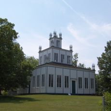
Sharon Temple
33.9 km
Sibbald Point Provincial Park
17.5 km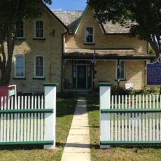
Leaskdale Manse
10.4 km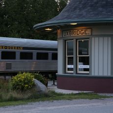
York–Durham Heritage Railway
20 km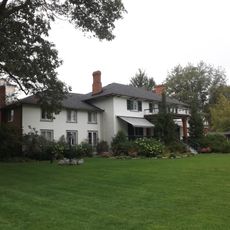
The Briars
20.5 km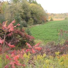
Aurora Site, Wendat Ancestral Village
36.3 km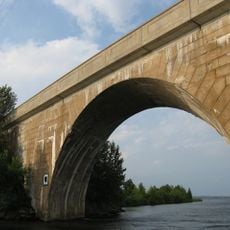
Canal Lake Concrete Arch Bridge
30.4 km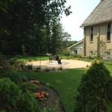
St. Paul's Presbyterian Church
10.6 km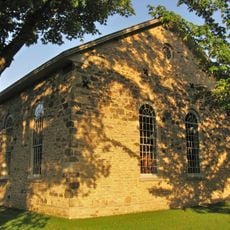
Old Stone Church
15.3 km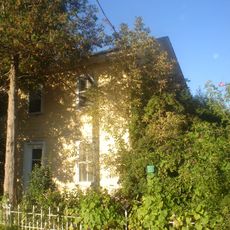
John Bogart House
36.9 km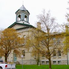
Victoria County Court House
30.2 km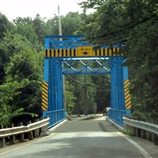
Mossington Bridge
19.3 km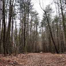
Whitchurch Conservation Area
35.6 km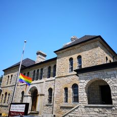
Kawartha Lakes Museum & Archives
30.1 km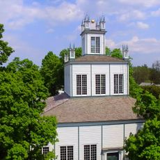
Sharon Temple
33.9 km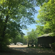
Woodland Trails Scout Camp
35.5 km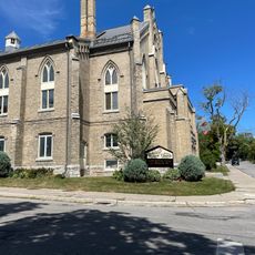
Cambridge Street United Church
30.2 km
Durham Regional Forest
26.7 km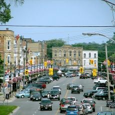
Downtown Lindsay Heritage Conservation District
30.3 km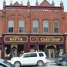
Port Perry Downtown Heritage Conservation District
24.3 km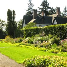
Beechcroft and Lakehurst Gardens
31.5 km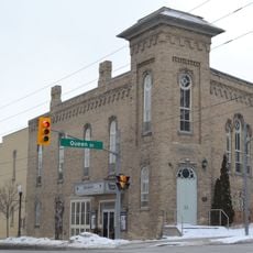
Former Port Perry Town Hall
24.4 km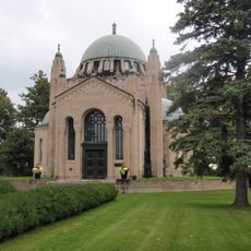
Thomas Foster Memorial
14.8 km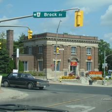
Canadian Imperial Bank of Commerce
20.1 km
Georgina Pioneer Village
26 km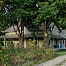
Brooks Howard House
36.9 km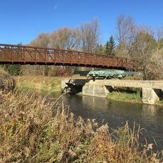
Joe Kelley's Bridge
36.2 km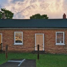
Altona Mennonite Church and Cemetery
35.6 kmVisited this place? Tap the stars to rate it and share your experience / photos with the community! Try now! You can cancel it anytime.
Discover hidden gems everywhere you go!
From secret cafés to breathtaking viewpoints, skip the crowded tourist spots and find places that match your style. Our app makes it easy with voice search, smart filtering, route optimization, and insider tips from travelers worldwide. Download now for the complete mobile experience.

A unique approach to discovering new places❞
— Le Figaro
All the places worth exploring❞
— France Info
A tailor-made excursion in just a few clicks❞
— 20 Minutes