Regional Municipality of Durham
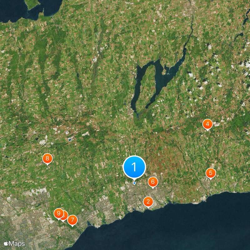
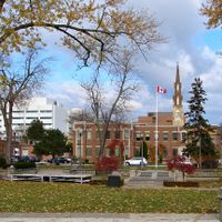
Regional Municipality of Durham, Regional municipality in Southern Ontario, Canada
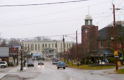
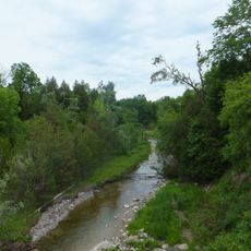
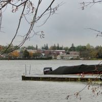
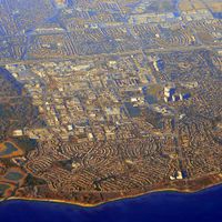
The Regional Municipality of Durham is an administrative division in southern Ontario that brings together eight municipalities between Lake Ontario and the northern farmland. The territory runs from urban shoreline places to forested hills inland.
The regional government was created in 1974 by merging territories from Ontario County and the united counties of Northumberland and Durham. This reorganization brought smaller communities under a shared regional structure.
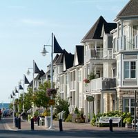
The territorial name honors Lord Durham, whose 1839 report influenced Canadian political development. Today residents use the waterfront communities and inland rural areas in different ways.
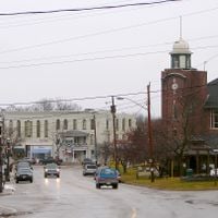
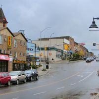
Public transport links the municipalities through a bus network and rail lines toward Toronto, while roads pass through farmland and wooded areas in the north. Access to the shoreline zones follows continuous waterfront roads with connections inland.
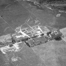
Automotive plants and post-secondary institutions shape the economic landscape between shoreline and farmland. Visitors often notice the shift from suburbs to open fields within a few kilometers.
Location: Ontario
Inception: 1792
Elevation above the sea: 91.3 m
Shares border with: Toronto, Kawartha Lakes, Simcoe County, Northumberland County, Regional Municipality of York
Website: http://durham.ca
GPS coordinates: 43.91667,-78.93333
Latest update: December 13, 2025 19:39
Camp X
7.9 km
Toronto Zoo
22.7 km
Canadian Tire Motorsport Park
25.3 km
Bowmanville POW camp
21.4 km
Parkwood Estate
5.4 km
Rouge National Urban Park
21.2 kmMantle Site, Wendat Ancestral Village
24.9 km
Old Finch Avenue Bailey Bridge
23.5 km
Sibbald Point Provincial Park
55.2 km
Darlington Provincial Park
13.4 km
Leaskdale Manse
36.7 km
Jungle Cat World
27.5 kmAngus Glen Golf Club
31.4 kmBead Hill archaeological site
20.8 km
York–Durham Heritage Railway
26.4 kmCanadian Automotive Museum
6.2 kmDraper Site, Wendat Ancestral Village
19.5 km
Heber Down Conservation Area
4.4 km
OPG 7 commemorative turbine
16.2 km
Markham Museum
26.8 kmLynde Shores Conservation Area
7.8 km
Ontario Regiment Museum
3 km
Manresa Jesuit Spiritual Renewal Centre
15 kmFrederick Horsman Varley Art Gallery
30.9 km
Toogood Park
31.2 km16th Avenue Bailey Bridge
22.6 km
St. Paul's Presbyterian Church
36.6 kmOshawa Community Museum
10.4 kmVisited this place? Tap the stars to rate it and share your experience / photos with the community! Try now! You can cancel it anytime.
Discover hidden gems everywhere you go!
From secret cafés to breathtaking viewpoints, skip the crowded tourist spots and find places that match your style. Our app makes it easy with voice search, smart filtering, route optimization, and insider tips from travelers worldwide. Download now for the complete mobile experience.
A unique approach to discovering new places❞
— Le Figaro
All the places worth exploring❞
— France Info
A tailor-made excursion in just a few clicks❞
— 20 Minutes