Clarington, Lower-tier municipality in Durham Region, Ontario, Canada
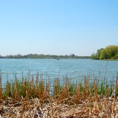
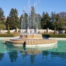
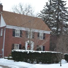
Clarington is a municipality in eastern Durham Region, Ontario, spanning 611 square kilometers with a mix of residential and commercial areas alongside protected farmland. The territory reaches Lake Ontario's shoreline with waterfront trails and green space corridors.
The municipality was formed in 1974 through the merger of Bowmanville, Newcastle, Clarke, and Darlington Townships, receiving its current name in 1993. This consolidation brought several historic communities under a single governing structure.
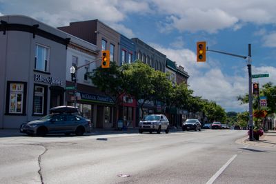
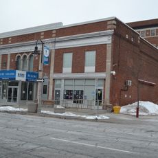
The community expresses itself through several distinct neighborhoods like Bowmanville, Newcastle, and Courtice, where local shops and gathering spots shape daily life. These areas maintain a village character that draws people seeking connection to their roots.
Eight major highway exits connect the area to Toronto, with key access points including Courtice Road, Bowmanville Avenue, and Highway 35/115. These multiple connections allow relatively easy approach from various directions.
The area hosts significant energy infrastructure including the Darlington Nuclear Generating Station and the Durham-York Energy Centre. These facilities play a key role in supplying electricity to Ontario.
Location: Regional Municipality of Durham
Inception: 1974
Elevation above the sea: 106 m
Shares border with: Oshawa, Scugog, Cavan Monaghan
Website: http://clarington.net
GPS coordinates: 43.93500,-78.60833
Latest update: December 20, 2025 13:23
Canadian Tire Motorsport Park
14 km
Bowmanville POW camp
4.8 km
Parkwood Estate
21.1 km
Darlington Provincial Park
15.4 km
Jungle Cat World
6.5 kmCanadian Automotive Museum
20.8 kmOshawa Community Museum
19.2 km
Cream of Barley Mill
6.1 km
Safari Zoo Camp
6.5 km
Parkwood National Historic Site
21 km
The Robert McLaughlin Gallery
21.1 kmSt. Saviour's Anglican Church
5 kmStephen's Gulch Conservation Area
6.6 kmBowmanville Harbour Conservation Area
6.1 kmBowmanville / Westside Marshes Conservation Area
6.9 kmBowmanville Valley Conservation Area
7.4 kmShaw House
6.9 km2662 Concession Road 8
14 kmSimcoe Street United Church
20.9 km
Regent Theatre
20.7 kmRitson Public School
20 kmDevitt's Cemetery
21.4 kmPioneer Memorial Garden Cemetery
21.5 km
29 Beech Avenue
6.6 kmOld Clarke Township Hall
4.7 kmWesleyan Methodist Church
8.7 kmEnfield United Church
20.6 kmHarmony Valley Conservation Area
18 kmVisited this place? Tap the stars to rate it and share your experience / photos with the community! Try now! You can cancel it anytime.
Discover hidden gems everywhere you go!
From secret cafés to breathtaking viewpoints, skip the crowded tourist spots and find places that match your style. Our app makes it easy with voice search, smart filtering, route optimization, and insider tips from travelers worldwide. Download now for the complete mobile experience.
A unique approach to discovering new places❞
— Le Figaro
All the places worth exploring❞
— France Info
A tailor-made excursion in just a few clicks❞
— 20 Minutes