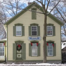
Port Colborne, Harbor municipality on Lake Erie, Canada
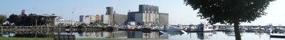
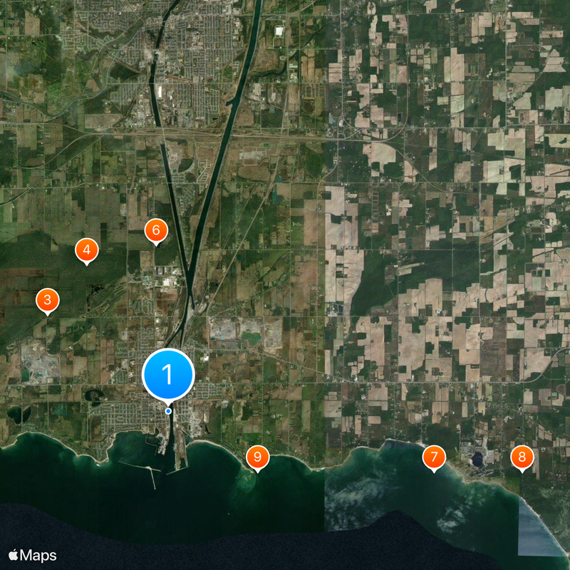
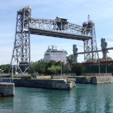
Port Colborne sits at the southern endpoint of the Welland Canal, which links Lake Erie to Lake Ontario through a series of navigation locks. The city spreads around this waterway and its harbor, where visitors can watch ships pass through the locks.
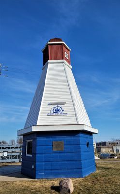
Founded in 1832 as Gravelly Bay, the settlement changed its name to honor Lieutenant Governor John Colborne during construction of the first Welland Canal. The new shipping route transformed it from a small village into a significant port town.
The July Canal Days Festival showcases tall ships, local food, and music performances that reflect how deeply maritime traditions are woven into community life. Visitors can experience the waterfront celebrations that mark the city's connection to canal shipping.
The city maintains several public beaches for swimming, including Nickel Beach and Cedar Bay Beach, with lifeguard services available from May through September. The waterfront area is easy to walk around and offers different spots to suit different interests.
Lock 8 of the Welland Canal sits at the city's waterfront and serves as the final gateway where ships transition between Lake Erie and the canal route heading north. Visitors can watch this dramatic passage up close from the shore.
The community of curious travelers
AroundUs brings together thousands of curated places, local tips, and hidden gems, enriched daily by 60,000 contributors worldwide.