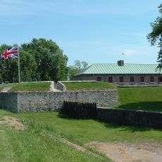
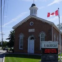
Regional Municipality of Niagara, Regional municipality in Golden Horseshoe, Ontario, Canada
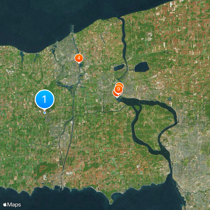
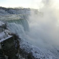
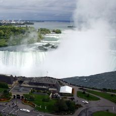
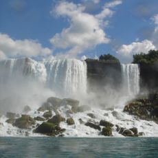
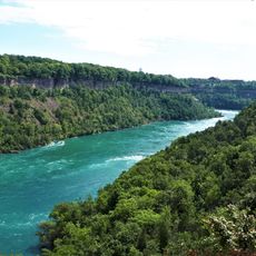
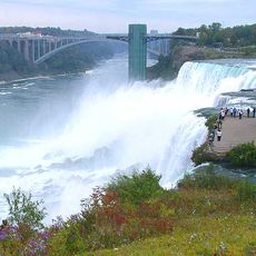
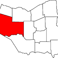
This region in Southern Ontario brings together twelve separate towns and cities under one administrative structure, including St. Catharines and Niagara Falls. The land lies between two major lakes and contains varied communities ranging from urban centers to smaller residential areas.
The region was established in 1970 when separate townships and cities combined into one coordinated governance structure. This merging allowed for better management of services and development across Southern Ontario.
Wine production has shaped the region for generations, with vineyards spread across multiple towns and especially visible around Niagara-on-the-Lake and the Escarpment slopes. You can see how this heritage influences local businesses, festivals, and the way people connect with the land.
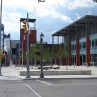
Administrative operations are centered in Thorold and coordinate services across the region's twelve communities. Plan to focus on specific towns within the region, as it covers a wide area with distinct characteristics in each municipality.
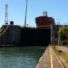
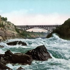
The Welland Canal cuts through the region, using eight locks to help ships climb the elevation change between the two lakes. This engineering feat remains an active waterway serving commercial traffic and remains one of North America's most important shipping channels.
The community of curious travelers
AroundUs brings together thousands of curated places, local tips, and hidden gems, enriched daily by 60,000 contributors worldwide.