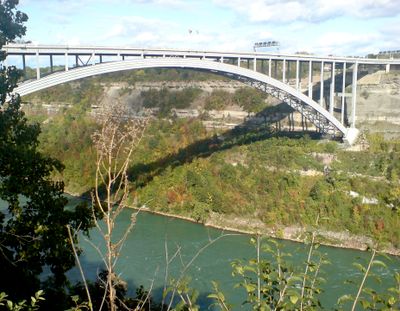
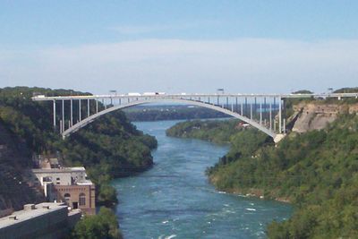
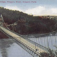
Lewiston–Queenston Bridge, International steel bridge between Lewiston and Queenston, United States and Canada.
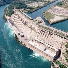
The Lewiston-Queenston Bridge is a steel structure spanning the Niagara River and connecting Lewiston, New York to Queenston, Ontario. The bridge covers roughly 488 meters and functions as a vehicular crossing between the two countries, accommodating both passenger and commercial traffic.
The current structure opened on November 1, 1962, replacing an earlier bridge that stood further north along the Niagara River. This relocation improved traffic flow and allowed for more modern crossing facilities to handle increasing border traffic.
The bridge displays flags of both nations at its center, marking the international boundary where the United States and Canada meet along the Niagara River. You can see these flags when crossing and notice the exact point where the two countries connect.
The bridge features traffic lights controlling reversible lanes that adjust direction based on traffic flow patterns throughout the day. Plan for potential delays at the customs booths on the Canadian side and be prepared with necessary documents when crossing.
The bridge operates reversible lanes controlled by traffic lights that shift direction based on the time of day to maximize traffic flow. This engineering solution allows the roadway to adapt to busier periods on each side of the border.
The community of curious travelers
AroundUs brings together thousands of curated places, local tips, and hidden gems, enriched daily by 60,000 contributors worldwide.