Repentigny, city of Québec, Canada
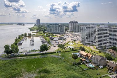
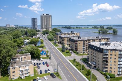
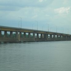
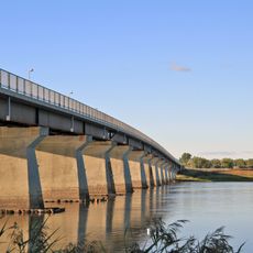
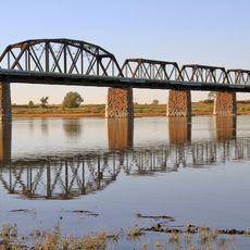
Repentigny is a city north of Montreal in Quebec, situated along the Prairies River and the Saint Lawrence River. It spans roughly 180 square kilometers with parks, tree-lined streets, and paths for walking and biking, with many public areas providing access to the waterfront.
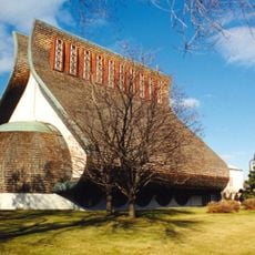
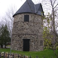
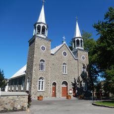
The town's origins trace back to the 1600s when Pierre Le Gardeur from Normandy was granted land and settled here. From a small farming and forestry community, it grew over centuries, with the first city council created in 1855 and official town status granted in 1957.
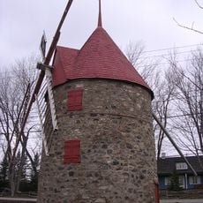
Repentigny takes its name from Pierre Le Gardeur, a French soldier from Normandy who was granted land here in the 1600s. The town honors these origins through preserved buildings, monuments, and how people still use the riverside for traditional activities like fishing and boating.
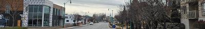
Repentigny is easily accessible by car via highways 40, 640, and 25, by train to Montreal's station, or by local buses serving different parts of the town and surrounding areas. The city provides good visitor facilities including parks, sports arenas, playgrounds, and public spaces for relaxation and activities.
The Oktoberfest festival takes place on an island in the river, featuring music, food, and family entertainment during the fall season. This annual event draws visitors and shows how the town uses its river setting for community celebrations.
The community of curious travelers
AroundUs brings together thousands of curated places, local tips, and hidden gems, enriched daily by 60,000 contributors worldwide.