Saguenay–St. Lawrence Marine Park, National marine conservation area at the Saguenay and St. Lawrence confluence, Quebec, Canada
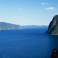
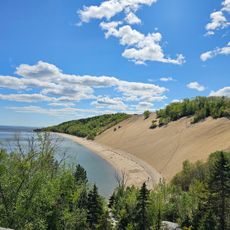
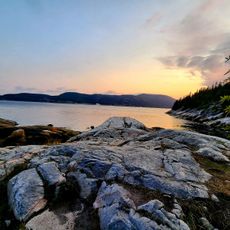
The Saguenay–St. Lawrence Marine Park is a 1,245 km2 marine protected area covering only water: seabed, water column and shore submerged at high tide. It takes in the Saguenay River bed downstream of Cap de l'Est at Sainte-Rose-du-Nord and the northern half of the St. Lawrence between Gros Cap à l'Aigle at La Malbaie and Pointe Rouge at Les Escoumins. The Saguenay accounts for 17% of the surface and the St. Lawrence for 83%; islands and wharves are excluded.
The region was occupied for at least 8,000 years before European contact; archaeological sites confirm seal hunting, and its peoples belonged to a network reaching from the Great Lakes to the Atlantic. Basque fishermen traded here as early as 1580, Pierre de Chauvin set up the first settler trading post in 1600, and Samuel de Champlain formed a French-Indigenous alliance at Tadoussac in 1603. Beluga fisheries ran from 1701 until the hunt was banned in 1979.
The area has long shaped how people fish and navigate, with the mixing of fresh and salt water requiring adapted techniques passed down through generations. Local communities continue to center their livelihoods on understanding these waters and their rhythms.
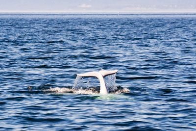
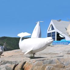
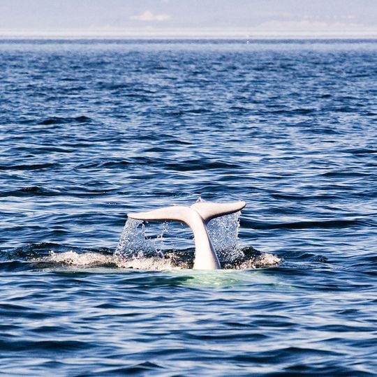
Visitors can watch whales from three interpretation centers offering guided naturalist tours and boat trips from May through October. The best viewing happens when weather is warm and water movement is most active from tidal and river currents.
At the head of the Laurentian Channel, between Les Escoumins and Tadoussac, the seabed rises from over 300 metres to about 20 metres. Each rising tide pushes cold, salty intermediate water against this sill, forcing it toward the surface and feeding the plankton that draws whales close to shore.
The community of curious travelers
AroundUs brings together thousands of curated places, local tips, and hidden gems, enriched daily by 94,351 contributors worldwide.