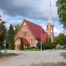
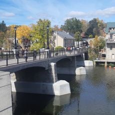
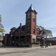
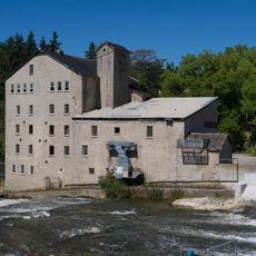
Wellington North, township in Ontario, Canada
Location: Wellington County
Shares border with: Southgate
Website: http://wellington-north.com
GPS coordinates: 43.90000,-80.56667
Latest update: March 5, 2025 00:08
Moorefield
21.3 km
Niagara Escarpment Biosphere Reserve
13.8 km
Ayton
33.8 km
Wellington County House of Industry and Refuge
26.7 km
Palmerston Railway Heritage Museum
23.9 km
Shelburne Public Library
35.2 km
Elora Gorge Conservation Area
27.6 km
Mount Forest Town Hall
16.3 km
Irvine River (Watt) Bridge
26.2 km
Chalmers Church
26.4 km
Grand Theatre
26.5 km
Speedside United Church
34.3 km
160 and 170 St. David Street South
26.4 km
198 St. Andrew Street West
26.5 km
Church of St. John the Evangelist
26.4 km
Victoria Street Bridge
26.8 km
Former Elora Drill Shed
26.9 km
Woolwich Township Hall
33.6 km
Elora Mill Inn
26.7 km
Canadian National Railways 81
23.9 km
Beatty Pool Building
26.5 km
Fergus Carnegie Library
26.5 km
Fergus Market/Beatty Brothers Factory
26.6 km
Noble/Kraft House
26.4 km
Overhead pedestrian bridge
23.8 km
Elora Separate School
26.1 km
Fergus and District High School
27.2 km
Belwood
23 kmVisited this place? Tap the stars to rate it and share your experience / photos with the community! Try now! You can cancel it anytime.
Discover hidden gems everywhere you go!
From secret cafés to breathtaking viewpoints, skip the crowded tourist spots and find places that match your style. Our app makes it easy with voice search, smart filtering, route optimization, and insider tips from travelers worldwide. Download now for the complete mobile experience.
A unique approach to discovering new places❞
— Le Figaro
All the places worth exploring❞
— France Info
A tailor-made excursion in just a few clicks❞
— 20 Minutes