Wellington County, Administrative county in Southwestern Ontario, Canada
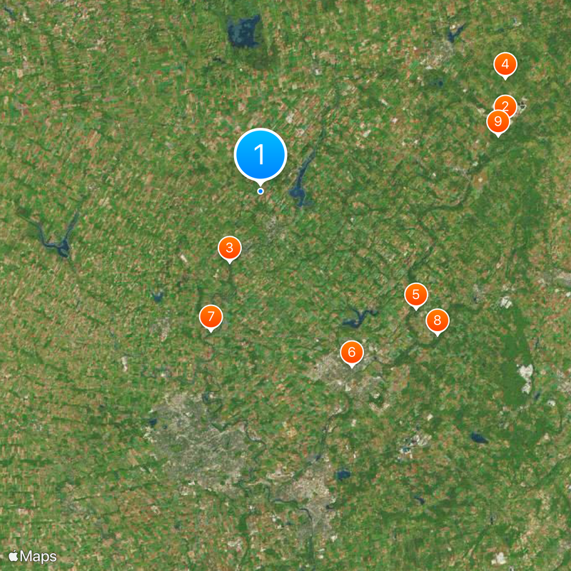
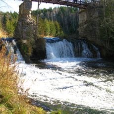
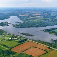
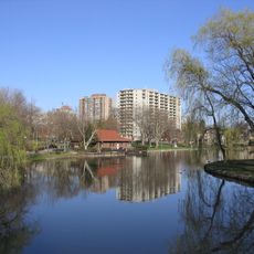
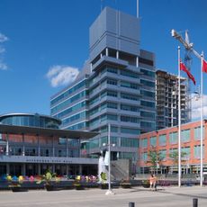
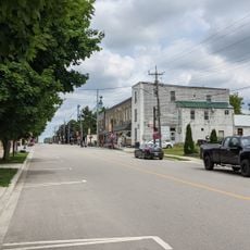
Wellington County is an administrative area in Southwestern Ontario that encompasses agricultural land, several small towns, and protected natural spaces. The territory includes seven municipalities and operates as part of the larger Greater Golden Horseshoe region.
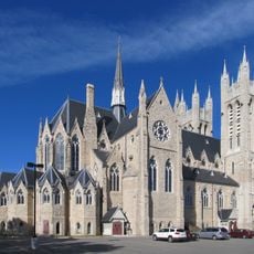
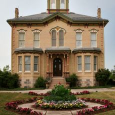
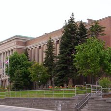
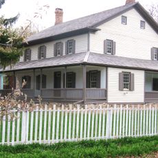
The area took its name in 1837 from England's Duke of Wellington when it became an administrative district centered in Guelph. Over the following decades, the region developed around farming and small communities.
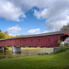
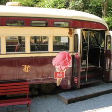
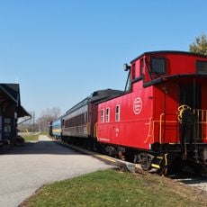
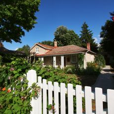
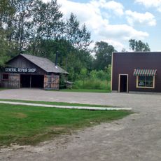
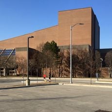
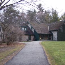
The region's museum displays exhibits about local life and heritage through collected items that reflect how residents lived and worked over time. Visitors see how farming and small-town traditions shaped the character of the area.
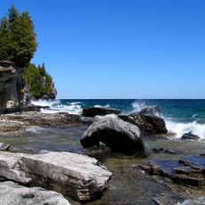
The area has a rural transit system called RIDE WELL that connects the different towns and municipalities, making it possible to explore the region without a car. The warmer months offer the best conditions for visiting and experiencing the agricultural landscape and natural areas.
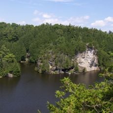
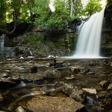
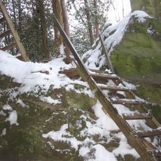
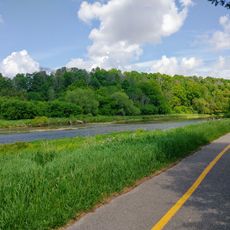
The region runs a tree planting program that has planted millions of trees and ranks among North America's largest reforestation efforts. This initiative shows the area's commitment to environmental protection and renewal.
Location: Ontario
Part of: Golden Horseshoe
Shares border with: Huron County, Regional Municipality of Halton, Hamilton, Regional Municipality of Peel
Website: https://wellington.ca
GPS coordinates: 43.75000,-80.40000
Latest update: December 7, 2025 09:26
West Montrose Covered Bridge
19.4 km
Guelph Lake
21.4 km
Niagara Escarpment Biosphere Reserve
17.2 km
Hastings Stadium
24.6 km
Wellington County House of Industry and Refuge
6.3 km
Ignatius Jesuit Centre
22.1 km
Elora Gorge Conservation Area
9.6 km
Irvine River (Watt) Bridge
7.8 km
Chalmers Church
7.9 km
Grand Theatre
5.4 km
Victoria Street Bridge
8.1 km
160 and 170 St. David Street South
5.2 km
198 St. Andrew Street West
5.3 km
Church of St. John the Evangelist
7.8 km
Speedside United Church
12.9 km
Former Elora Drill Shed
8.1 km
Conestogo United Church
24.6 km
Woolwich Township Hall
21.2 km
St. Boniface Catholic School
23.8 km
Old Township Hall
24.7 km
School Section #4
23.3 km
Beatty Pool Building
5.3 km
Elora Mill Inn
8.1 km
Fergus Carnegie Library
5.3 km
Fergus Market/Beatty Brothers Factory
5.4 km
Noble/Kraft House
7.9 km
Hillsburgh
21.2 km
Belwood
7.8 kmVisited this place? Tap the stars to rate it and share your experience / photos with the community! Try now! You can cancel it anytime.
Discover hidden gems everywhere you go!
From secret cafés to breathtaking viewpoints, skip the crowded tourist spots and find places that match your style. Our app makes it easy with voice search, smart filtering, route optimization, and insider tips from travelers worldwide. Download now for the complete mobile experience.
A unique approach to discovering new places❞
— Le Figaro
All the places worth exploring❞
— France Info
A tailor-made excursion in just a few clicks❞
— 20 Minutes