
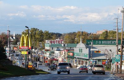
Maniwaki, town in Quebec, Canada
Location: La Vallée-de-la-Gatineau
Inception: March 15, 1904
Shares border with: Egan-Sud, Déléage, Kitigan Zibi
Website: https://ville.maniwaki.qc.ca
GPS coordinates: 46.37500,-75.96670
Latest update: April 12, 2025 02:46
La Vérendrye Wildlife Reserve
85.1 km
Papineau-Labelle Wildlife Reserve
61.8 km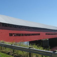
Félix-Gabriel-Marchand Bridge
82.7 km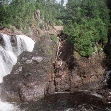
Coulonge Chutes
83.5 km
Lac du Poisson Blanc
44.8 km
Réservoir Kiamika
76 km
Poisson-Blanc Regional Park
38.5 km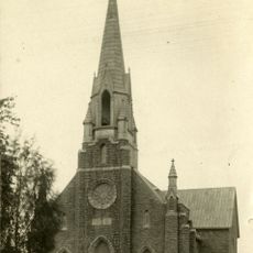
Notre-Dame-de-Fourvière Cathedral
40.8 km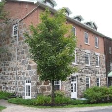
Wakefield Mill
82.4 km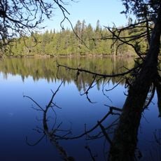
Kiamika Reservoir Regional Park
76.4 km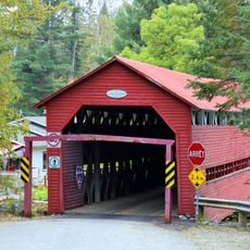
Pont Armand-Lachaîne
61.2 km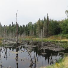
Zec Petawaga
75.7 km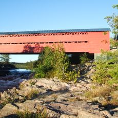
Pont Savoyard
24.3 km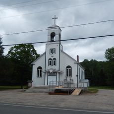
Église Notre-Dame-du-Mont-Carmel
78.7 km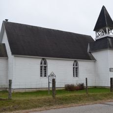
Église anglicane Saint-John-in-the-Wilderness
83.9 km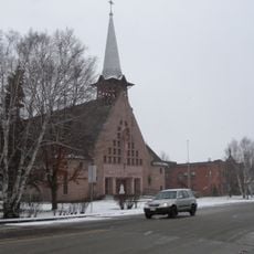
Église Notre-Dame-du-Très-Saint-Sacrement
53.7 km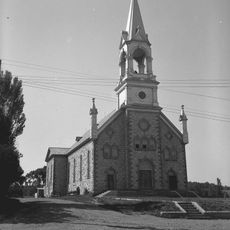
Église de Sainte-Cécile
81.8 km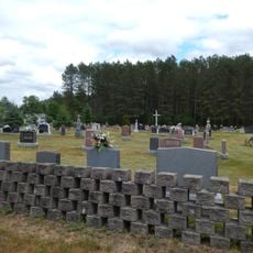
Cimetière de Notre-Dame-de-la-Consolation
84.9 km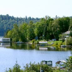
Réservoir l'Escalier
61.7 km
Grotte de la Maison de Pierre
31.9 km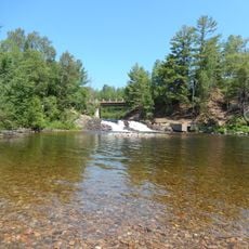
Chute aux Épinettes Rouges
79.2 km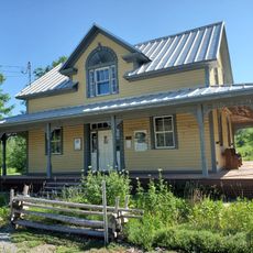
Fairbairn House
81.2 km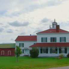
George Bryson House
82.5 km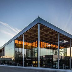
Espace Théâtre
40.9 km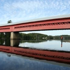
Wakefield Covered Bridge
81.3 km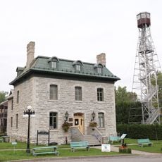
Château Logue
809 m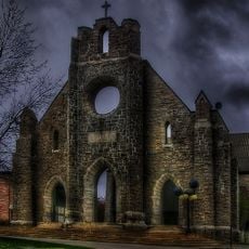
Façades de l'ancienne cathédrale de Notre-Dame-de-Fourvières
40.8 km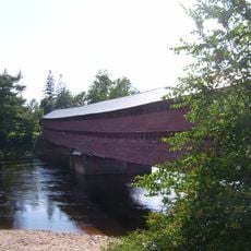
Pont Est de Ferme-Rouge
41.8 kmVisited this place? Tap the stars to rate it and share your experience / photos with the community! Try now! You can cancel it anytime.
Discover hidden gems everywhere you go!
From secret cafés to breathtaking viewpoints, skip the crowded tourist spots and find places that match your style. Our app makes it easy with voice search, smart filtering, route optimization, and insider tips from travelers worldwide. Download now for the complete mobile experience.

A unique approach to discovering new places❞
— Le Figaro
All the places worth exploring❞
— France Info
A tailor-made excursion in just a few clicks❞
— 20 Minutes