Enable Location

We need your location to show you interesting places around you

Discover nearby places

Find interesting locations and hidden gems around you

Precise directions

Get accurate directions and distances to places

Your location is never shared with other users. It's only used when you tap the location button.

Mirabel

Log in to your account

Start exploring — it's free

Trusted by 61,975 travelers worldwide

Continue with Google
Continue with Apple
or

We will send you a code to connect

By continuing, you accept our Terms and Conditions and our Privacy Policy

Check your inbox

We've sent a pincode in your inbox. Please enter the code below.

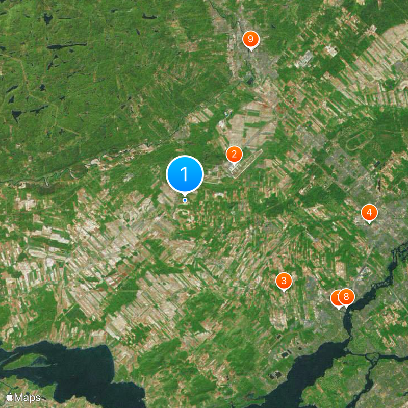
Mirabel, Municipal territory and transportation hub in Laurentides, Canada

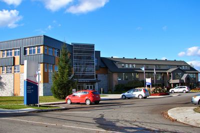
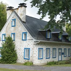
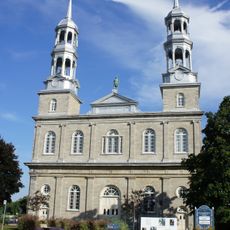
Mirabel is an administrative territory northwest of Montreal that combines residential neighborhoods, industrial areas, and working farmland across a broad landscape. The location functions as a key transportation hub for the region.

The territory was formed in 1971 when several surrounding communities merged into a single administrative unit. This consolidation laid the groundwork for its later development as a transportation and industrial center.

The area speaks French in daily life, and schools serve families from both linguistic backgrounds.

The area is easy to reach from Montreal and has good road connections for visitors. Keep in mind that many parts are designed around car travel, so exploring by vehicle is practical.

The area hosts major aerospace manufacturing facilities, including aircraft and helicopter assembly operations. These plants rank among the largest of their kind in North America and shape the local economy.

The community of curious travelers

AroundUs brings together thousands of curated places, local tips, and hidden gems, enriched daily by 60,000 contributors worldwide.

Start exploring
Location
Inception
January 1, 1971
Part of
Greater Montreal
Shares border with
Saint-Jérôme, Sainte-Thérèse, Oka, Saint-Placide, Saint-Eustache, Boisbriand, Sainte-Anne-des-Plaines
GPS coordinates
45.65000,-74.08333
Latest update
December 20, 2025 11:53
« Mirabel - Municipal territory and transportation hub in Laurentides, Canada » is provided by Around Us (aroundus.com). Images and texts are derived from Wikimedia project under a Creative Commons license. You are allowed to copy, distribute, and modify copies of this page, under the conditions set by the license, as long as this note is clearly visible.

Discover hidden gems everywhere you go!

From secret cafés to breathtaking viewpoints, skip the crowded tourist spots and find places that match your style. Our app makes it easy with voice search, smart filtering, route optimization, and insider tips from travelers worldwide. Download now for the complete mobile experience.

Around Us App Screenshot

A unique approach to discovering new places

Le Figaro

All the places worth exploring

France Info

A tailor-made excursion in just a few clicks

20 Minutes

Around Us
Travel Guide & Maps
Download

Send to your phone

QR Code
1

Open the camera app on your mobile.

2

Point at the QR code with your camera. A notification will appear.

3

Tap the notification to open the link.