Salaberry-de-Valleyfield, Industrial port city in Beauharnois-Salaberry, Canada
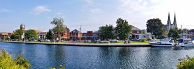
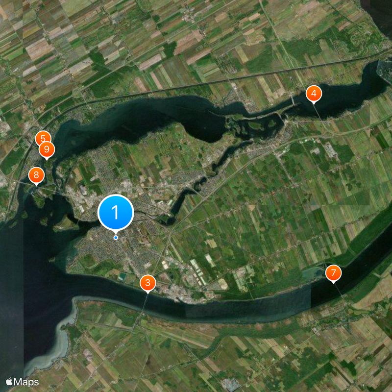
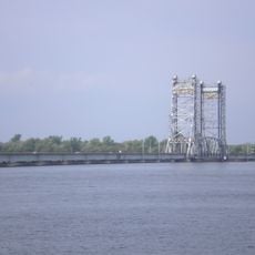
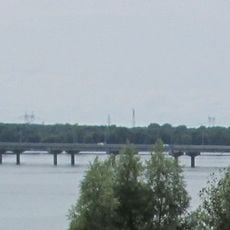
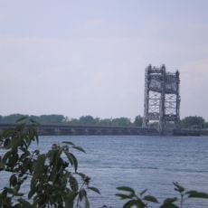
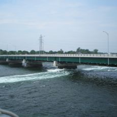
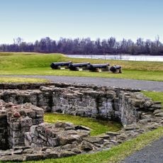
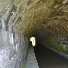
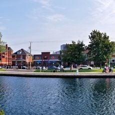
Salaberry-de-Valleyfield sits on Grande-Île and is surrounded by Lake Saint Francis, the Saint Lawrence River, and the Beauharnois Canal. These waterways shape its geography and have made it a natural hub for industrial and commercial activity.
The settlement began in 1798 as Pointe-du-Lac and took its current name in 1874 to honor Colonel Charles de Salaberry. This name change marked a turning point in how the community established its identity and direction.
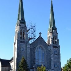
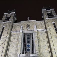
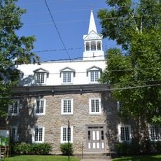
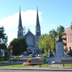
The Cathedral-Basilica of Saint Cecilia shapes the city's appearance and reflects the strong Roman Catholic heritage rooted here for generations. This religious landmark draws visitors who want to understand how faith has shaped community life and identity.
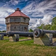
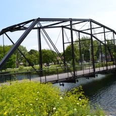
The waterfront is accessible on foot and offers good conditions for viewing the harbor activity and waterways. The city layout makes it easy to explore different neighborhoods and understand how it functions as a riverside community.
The Valleyfield Regattas, held since 1938, attract around 130,000 visitors each year to watch international hydroplane racing. This event has made the city known for hosting major water-sports competitions that draw people from across the region.
Location: Beauharnois-Salaberry
Inception: April 24, 2002
Shares border with: Les Cèdres, Saint-Stanislas-de-Kostka, Saint-Louis-de-Gonzague, Beauharnois
Website: http://ville.valleyfield.qc.ca
GPS coordinates: 45.25000,-74.13333
Latest update: December 13, 2025 22:28
Parc Delpha-Sauvé
882 m
Larocque Bridge
3 km
Serge Marcil Bridge
11.2 km
Coteau-du-Lac canal
5.4 km
Basilique-Cathédrale Sainte-Cécile
533 m
Pont Saint-Louis-de-Gonzague
10.4 km
Pont Monseigneur-Langlois
4.5 kmMicocoulier Ecological Reserve
4.9 km
Fort Coteau-du-Lac
5.6 km
Rivière-Saint-Pierre Aqueduct
12.5 km
Pont Jean-De La Lande
934 mÎles-de-Saint-Timothée Regional Park
8.2 km
Église de l'Immaculée-Conception de Bellerive
1.5 kmParc de la Terrasse-Robert
4.5 kmPont André-Lamanque
8 kmPont Larocque
3 kmPont Nicholson
774 mPont Donat-Lalonde
8.3 kmPont Victoria
2.3 km
Bâtiment Joseph-Olivier-Archambault
9 km
Arrondissement institutionnel de la paroisse de Sainte-Cécile
719 mBattle of the Cedars National Historic Site
10.2 kmPont Louis-P.-Derome
1.4 kmParc Henri-Paul-Desforges
6.8 kmLes Galets
4.2 km
Le Petit Pouvoir
6.6 kmMusée de société des Deux-Rives
1.3 km
Salaberry-de-Valleyfield
5.6 kmVisited this place? Tap the stars to rate it and share your experience / photos with the community! Try now! You can cancel it anytime.
Discover hidden gems everywhere you go!
From secret cafés to breathtaking viewpoints, skip the crowded tourist spots and find places that match your style. Our app makes it easy with voice search, smart filtering, route optimization, and insider tips from travelers worldwide. Download now for the complete mobile experience.
A unique approach to discovering new places❞
— Le Figaro
All the places worth exploring❞
— France Info
A tailor-made excursion in just a few clicks❞
— 20 Minutes