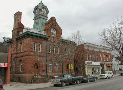
Carleton Place, town in Ontario
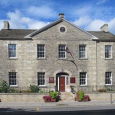
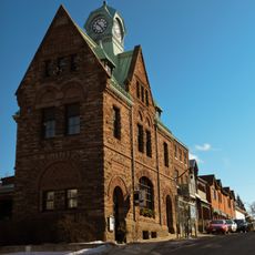
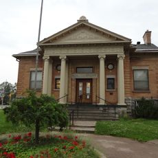
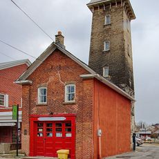
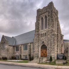
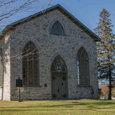
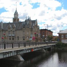
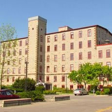
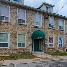
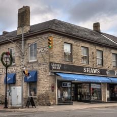
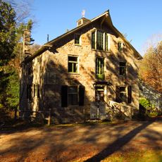
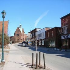
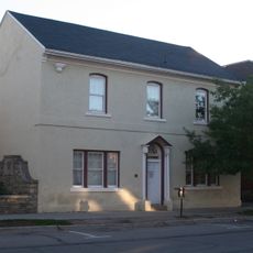
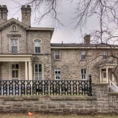
Carleton Place is a small town in Lanark County, Ontario, located about 55 kilometers west of Ottawa. The town features a mix of historic and newer buildings, with shops, cafes, and homes reflecting a slow and welcoming pace of life.
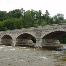
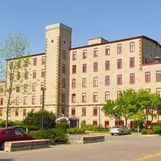
Settlement began in the early 1800s when Edmond Morphy built a mill around 1819, which became the foundation for early growth. During the 19th century, the town expanded rapidly through logging and mill work, with steamships on Mississippi Lake facilitating trade with other communities.
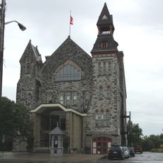
The town was named after a street in Scotland and renamed in 1829. Community life centers on local events and markets, where neighbors gather to buy and sell fresh goods, crafts, and share stories together.
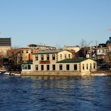
The town is easy to explore, with signs and maps guiding visitors to main attractions. The river offers several viewpoints, parks, and a boat launch that make walking around the town convenient and pleasant.
Roy Brown, a pilot from the First World War era, was from here and is credited with shooting down the famous Red Baron. This local connection to a significant military figure shapes the town's heritage and is still remembered with pride by residents.
The community of curious travelers
AroundUs brings together thousands of curated places, local tips, and hidden gems, enriched daily by 60,000 contributors worldwide.