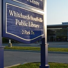
Whitchurch–Stouffville, town in York Region, Ontario, Canada
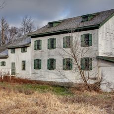
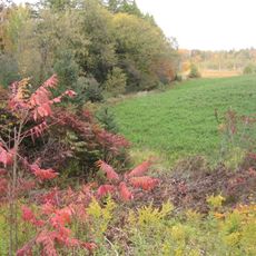
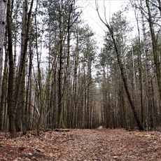
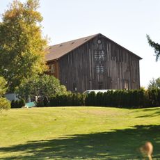
Whitchurch-Stouffville is a town in the Regional Municipality of York north of Toronto. It spreads across rural and increasingly developed areas with residential neighborhoods, local shops, and green spaces.
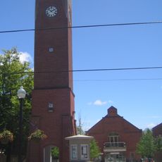
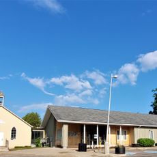
The town originated from the merger of two historic communities, Whitchurch and Stouffville, which had roots in the 1800s. Today it stands as a modern residential center that continues to grow and change.
The town is most easily reached by car and has various local roads and pathways for exploring. The best time to visit is spring or fall when the weather is mild.
The community of curious travelers
AroundUs brings together thousands of curated places, local tips, and hidden gems, enriched daily by 60,000 contributors worldwide.