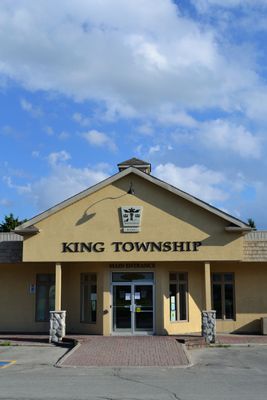
King, township in York Region, Ontario
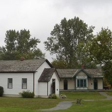
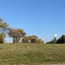
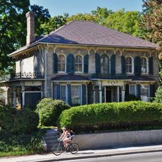
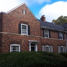
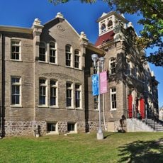
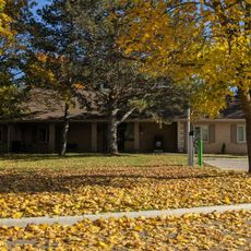
King is a township in the Regional Municipality of York in Ontario with three main communities: King City, Nobleton, and Schomberg. The area features farmland and green spaces interspersed with rolling hills, older buildings mixed with newer homes, and quiet roads connecting the settlements.
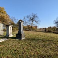
Indigenous peoples inhabited this land for thousands of years before European settlement began in the late 1700s. The Toronto Purchase of 1805 formally opened the area for farming and development, leading to the establishment of villages and mills that shaped the region's growth.
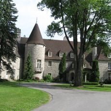
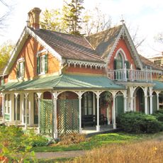
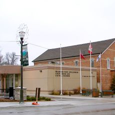
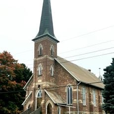
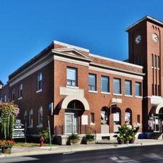
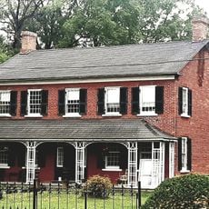
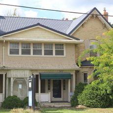
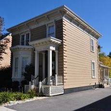
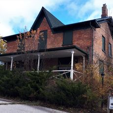
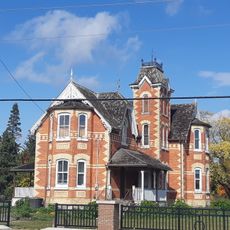
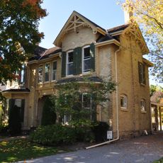
King reflects its settler roots through farmland and heritage buildings that remain visible throughout the township. Local events like seasonal parades and markets in Schomberg bring residents together and help sustain the community's connection to its past.
King is accessible via several highways and offers a GO Station for train service to Toronto. The township is best explored on foot or by car, with quiet roads ideal for walking and cycling through the rural and village areas.
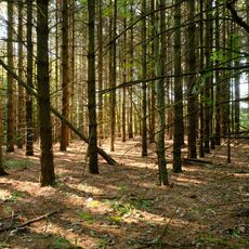
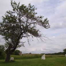
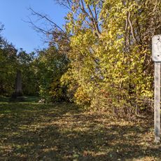
King's landscape was shaped by geological history, including traces of an ancient lake that once covered the lowlands and left behind archaeological evidence of human occupation thousands of years ago. The explorer Etienne Brule traveled the Toronto Carrying-Place Trail through this area in 1615, guided by Huron companions.
The community of curious travelers
AroundUs brings together thousands of curated places, local tips, and hidden gems, enriched daily by 60,000 contributors worldwide.