Lac Saint-Jean, Large freshwater lake in Maria-Chapdelaine, Canada
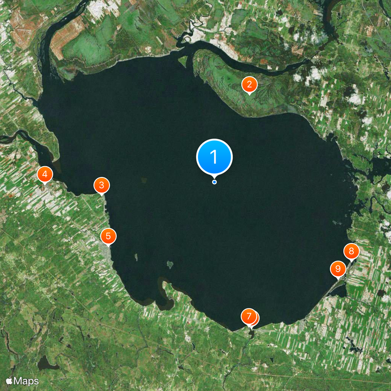
Lac Saint-Jean is a large freshwater basin in the Saguenay–Lac-Saint-Jean region of Quebec, fed by several tributaries flowing from the hinterland. Its round shape and shallow shoreline zones define the landscape around the surrounding municipalities, while two artificial outlets channel the water into the Saguenay River.
A Jesuit missionary arrived at the waterway in 1647 and introduced it into European maps under its present French name. Trading posts for furs sprang up along the shores afterward, which encouraged the growth of permanent settlements in the region.
The Innu language provides the original name Piekuakamu, which appears today on some signs and regional maps alongside the French designation. Visitors can observe the way waterways shaped settlement patterns, with communities clustered around bays and river mouths along the shoreline.
The water is regulated by dams at two outlets, which keep levels controlled throughout the year and prevent flooding. Visitors find public access points along the shoreline that offer views of the open water and opportunities for swimming or boating.
A swimming competition across 32 kilometers (20 miles) of open water has drawn participants from different countries since 1955, crossing between two fixed points. The race is considered one of the oldest long-distance swimming events in North America and takes place every summer.
The community of curious travelers
AroundUs brings together thousands of curated places, local tips, and hidden gems, enriched daily by 60,000 contributors worldwide.