
Natashquan, municipality in Quebec, Canada
Location: Minganie Regional County Municipality
Inception: September 16, 1907
Elevation above the sea: 11 m
Shares border with: Lac-Jérôme, Natashquan, Aguanish
Website: https://natashquan.org
GPS coordinates: 50.18333,-61.81667
Latest update: June 9, 2025 09:50

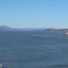
St. Lawrence River
200.7 km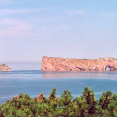
Perce Rock
252.9 km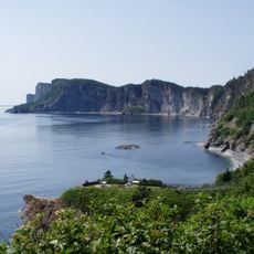
Forillon National Park
232.1 km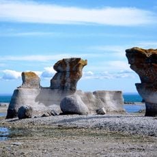
Mingan Archipelago National Park Reserve
147.8 km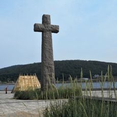
Cross of Gaspé
244.8 km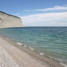
Anticosti National Park
105.4 km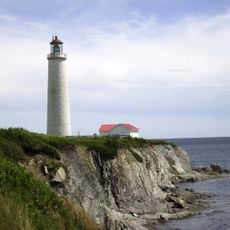
Cap-des-Rosiers Lighthouse
226.9 km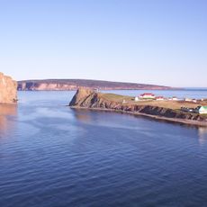
Île-Bonaventure-et-du-Rocher-Percé National Park
253.4 km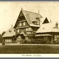
Château Menier
187.2 km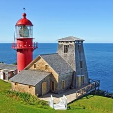
Pointe-à-la-Renommée Lighthouse
233.7 km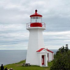
Cap Gaspé Lighthouse
232.8 km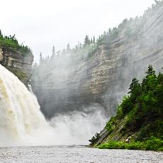
Canyon de la Vauréal
92.2 km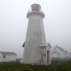
Île aux Perroquets Lighthouse
170.2 km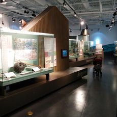
Gaspesie Museum
243.7 km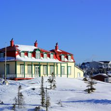
Maison Johan-Beetz
71.4 km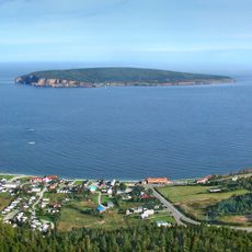
Site patrimonial de Percé
253.9 km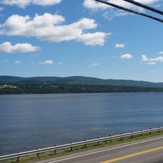
Gespeg Micmac interpretation site
245.7 km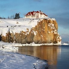
Villa Frederick-James
253.5 km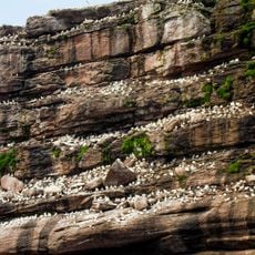
Bonaventure Island and Percé Rock Migratory Bird Sanctuary
253.7 km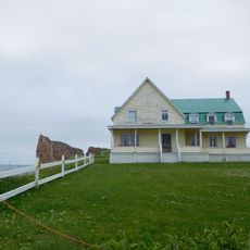
Biard house
253.3 km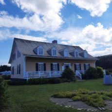
Manoir Le Boutillier
227.1 km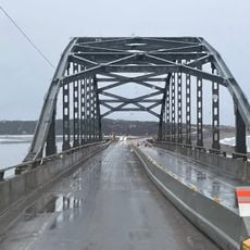
Pont Touzel
221.9 km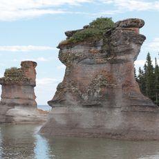
Heritage site of Mingan Archipelago
128.4 km
Grotte de la Baie de la Tour
90 km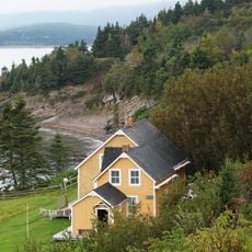
Xavier Blanchette House
233 km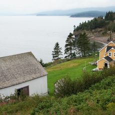
Xavier Blanchette Barn
233 km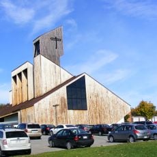
Saint-Albert-le-Grand
244.8 km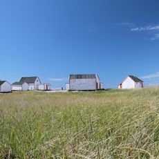
Les Galets de Natashquan
550 mVisited this place? Tap the stars to rate it and share your experience / photos with the community! Try now! You can cancel it anytime.
Discover hidden gems everywhere you go!
From secret cafés to breathtaking viewpoints, skip the crowded tourist spots and find places that match your style. Our app makes it easy with voice search, smart filtering, route optimization, and insider tips from travelers worldwide. Download now for the complete mobile experience.

A unique approach to discovering new places❞
— Le Figaro
All the places worth exploring❞
— France Info
A tailor-made excursion in just a few clicks❞
— 20 Minutes